 Route Editor

| Guide | ♦ | 74 Triplogs | 0 Topics |
details | drive | permit | forecast | route |
stats |
photos | triplogs | topics | location |
| 334 | 74 | 0 |
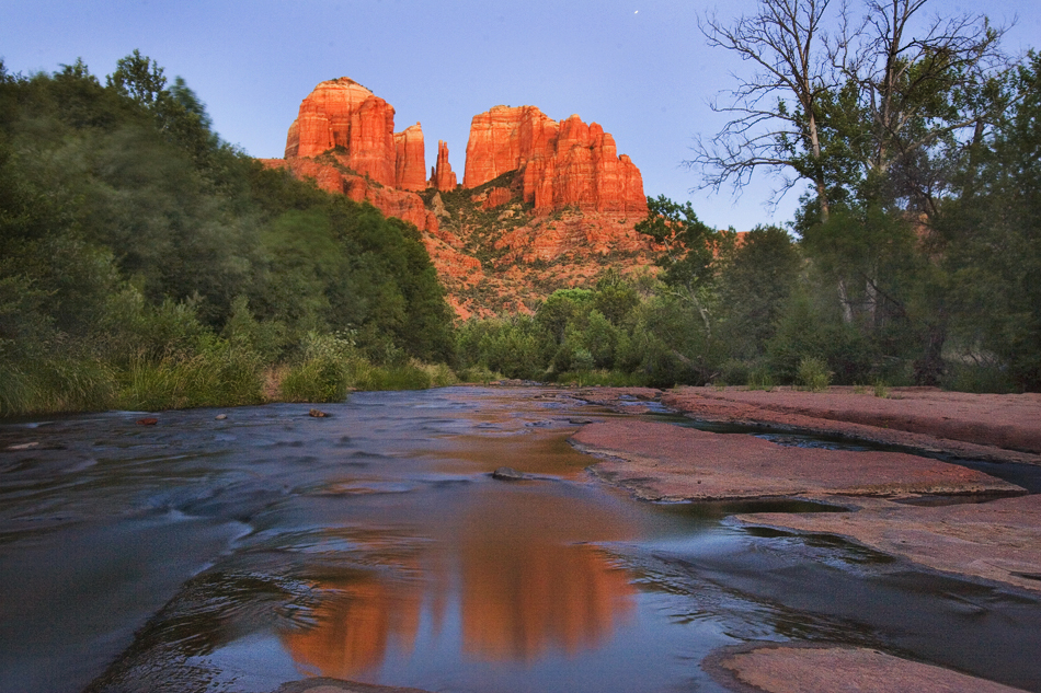
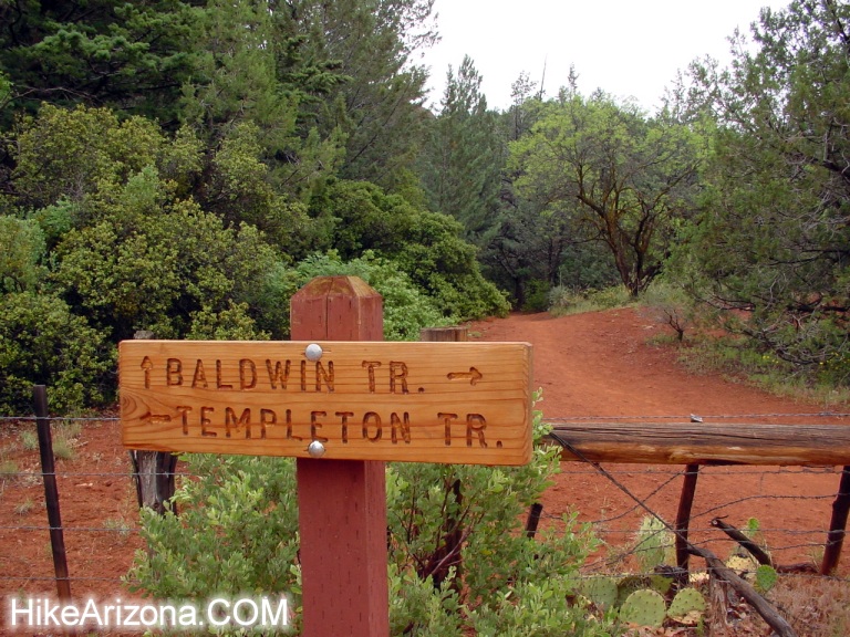
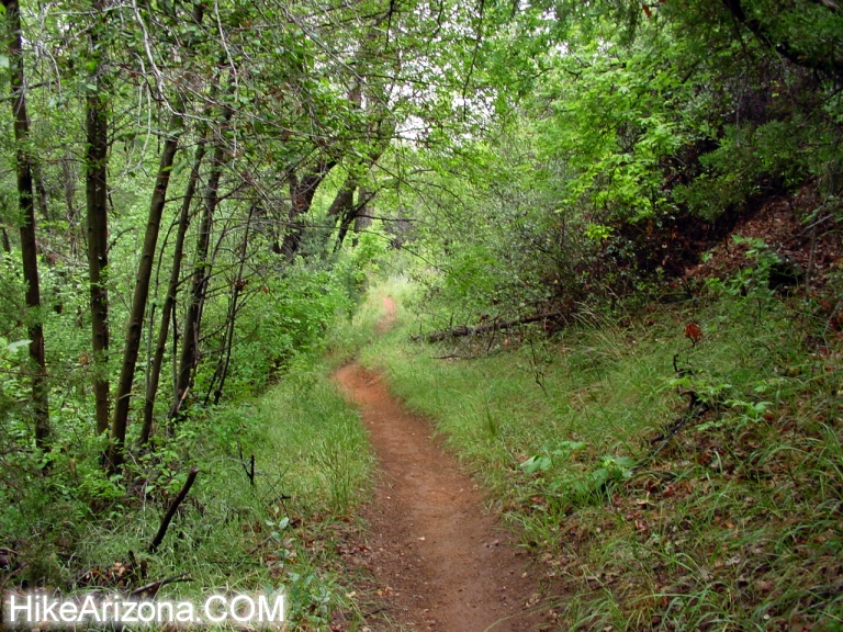
Sedona Glory by joebartels   Overview OverviewHere's a short and sweet little Sedona excursion. Surely you've seen photos on books and magazines of Oak Creek as it seems to flow right out of Cathedral Rock. This is the area known as Red Rock Crossing, a huge red rock sand bar crossing the creek. I suggest checking it out before the NFS or the state develops the area into a pay-per-use park. Also, don't come expecting the place to yourself. Hike From the parking area, cross Verde Valley Road and pick up the Baldwin Trail on the other side. It looks a little bleak in the beginning. Rest assured, a short trek will change your mind. Soon trees surround you, and a ledge ramps you down. Next, the area opens up into a big grassy field. The trail is road width all of a sudden. The quickest access to Red Rock Crossing is dashing over to the creek from this area. (uh, that's left) You might want to check out some nice areas ahead since this isn't much of a hike. Continuing on to the Templeton junction. A right takes you counter-clockwise around Cathedral Rock. This is a popular mountain biking loop. It's one of the few good mountain biking spots in Sedona. Most of the trails cross into the wilderness, where bikes aren't allowed.
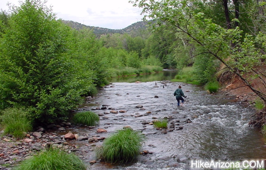
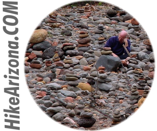
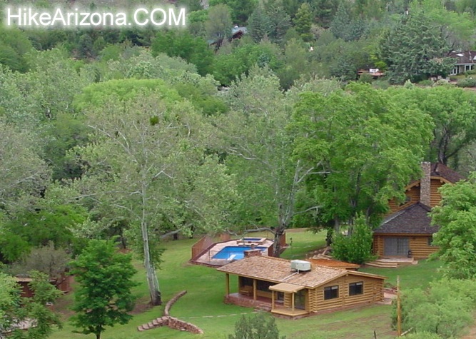
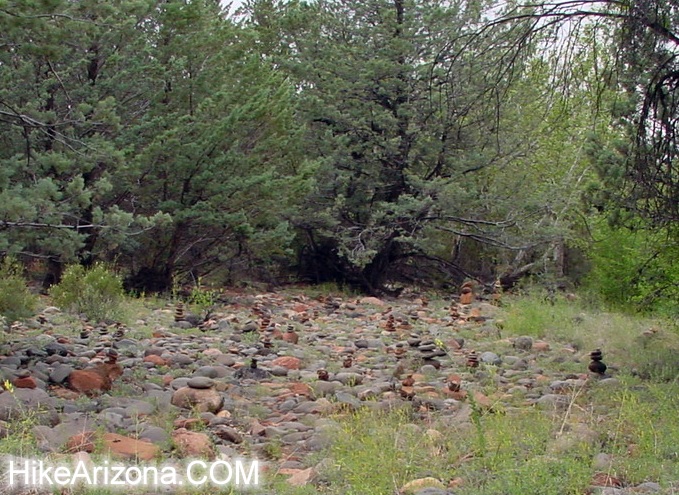
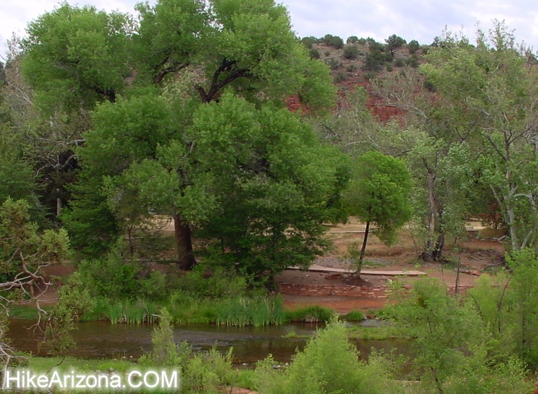
Head back down the West Fork corridor. Back at the Templeton junction, head on over to the creek. You'll have to work your way downstream to Red Rock Crossing. Along the way you might encounter another rock pile field. Red Rock Crossing is pretty obvious when you reach the area. Water skims over the slab. Unless the creek is flowing high, you can easily walk across as it's only a foot or so deep. There's a nice slide that always seems to be crowded on the north bank under a canopy of trees. Further downstream is one heck of an impressive red rock slab next to a home on the south bank. Don't get too excited. You're in somebody's backyard, more or less, and the creek isn't gliding over it either. You can easily work your way up to the turnaround where Valley Verde Road dead ends. Across the creek you'll see a sidewalk. This is the paved trail ending from Red Rock State Park off of Red Rock Loop Road. There's a fee to park on the other side in Red Rock State Park. It may seem pointless from over here. Keep in mind wheelchair-bound folks can't push through the sand and rocks. Synopsis Red Rock Crossing is just one little trip I made in the area. You can roam around in any manner and have a good time. If you want a no-frills, no chance of getting lost access to Red Rock Crossing: From the trailhead, follow Verde Valley Road to the end and trek upstream to Red Rock Crossing.
Check out the Official Route and Triplogs. Leave No Trace and +Add a Triplog after your hike to support this local community. | |||||||||||||||||||||||||||||||||||||||||||||||||||||||||||||||||||||||||||||||||||||||||||||||||||||||||||||||||||||||||||||||||||||||||||||||||||||||||||||||||||||||||||||||||||||||||


