 Route Editor

| Guide | ♦ | 20 Triplogs | 0 Topics |
details | drive | permit | forecast | 🔥 route |
stats |
photos | triplogs | topics | location |
| 184 | 20 | 0 |
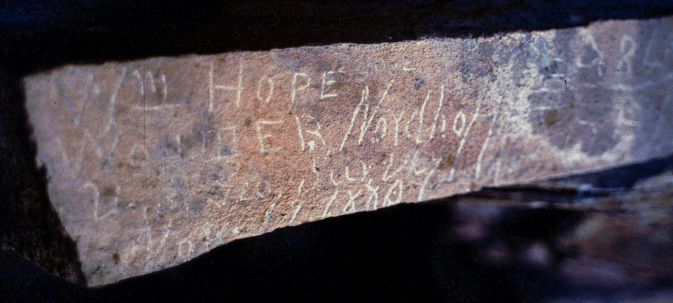
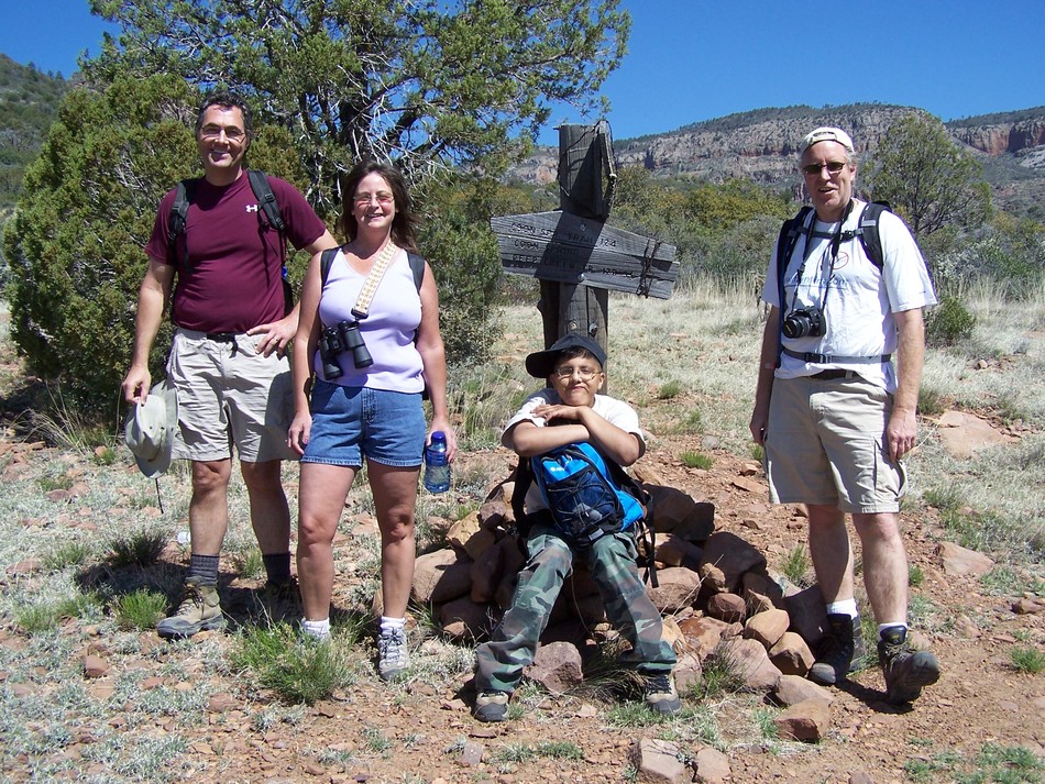
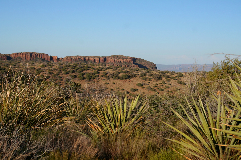
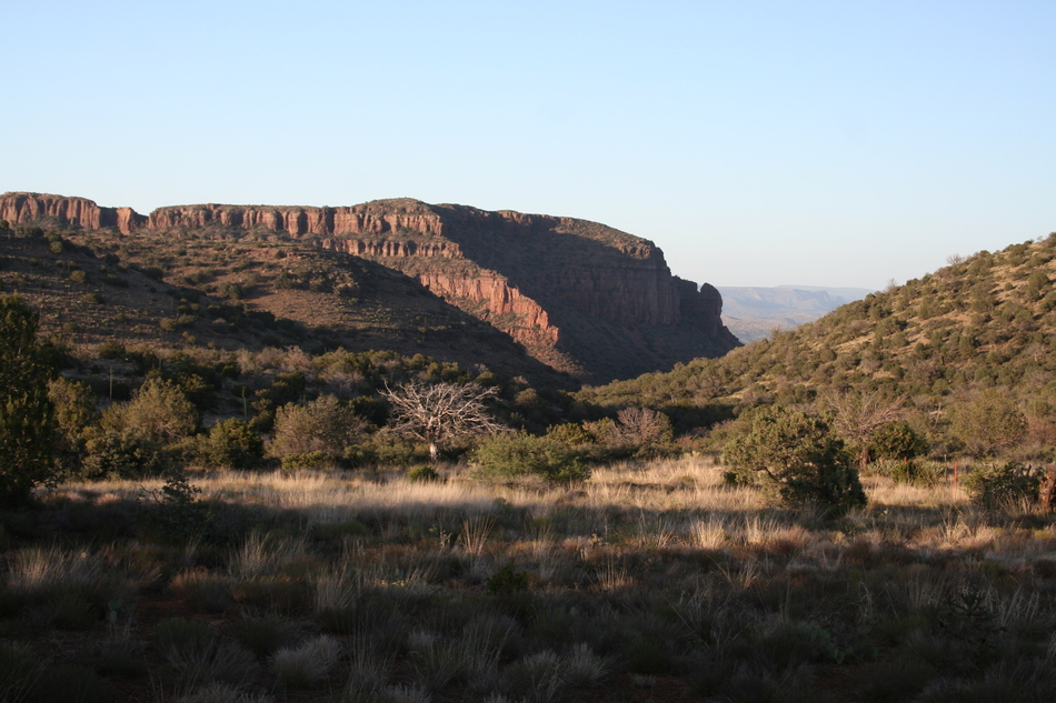
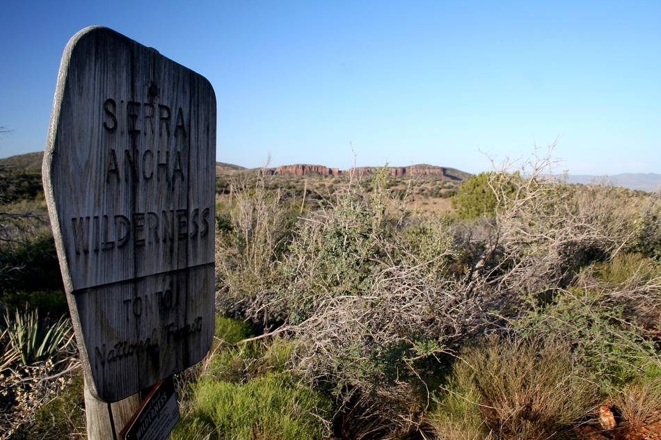
Who Were Hope and Nordhoff? by Randal_Schulhauser   Some History Some HistoryThe Sierra Ancha (Spanish for "Wide Mountain") is an archeologically rich wilderness area known for some remarkable cliff dwellings made famous by Dr. Emil W. Haury and the Gila Pueblo Project starting in 1930. Dr. Richard C. Lange has continued that legacy with the Sierra Ancha Project starting in 1983 and continuing to the present day. The Cherry Creek drainage comes to mind as the primary location of these cliff dwellings, but the Coon Creek drainage has many sites, albeit lesser-known. Hermatite House (see HAZ hike description "Coon Creek Ruins") may be the lone exception. The earliest record of visitation to the Sierra Ancha can be found inscribed within the remains of one of the Coon Creek cliff dwellings located near the Bull Canyon trailhead. William Hope and Walter Nordhoff visited the site on November 19, 1880, while conducting a mineral assessment of the area for the United States Geological Survey. Their inscription is still visible today on the back wall of room 6 of the cliff dwelling.
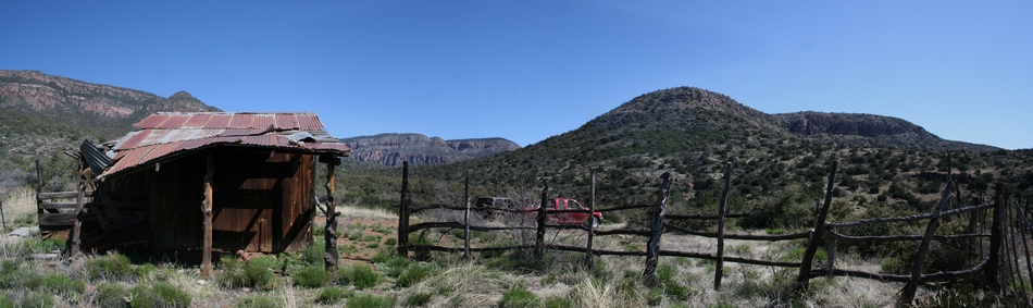
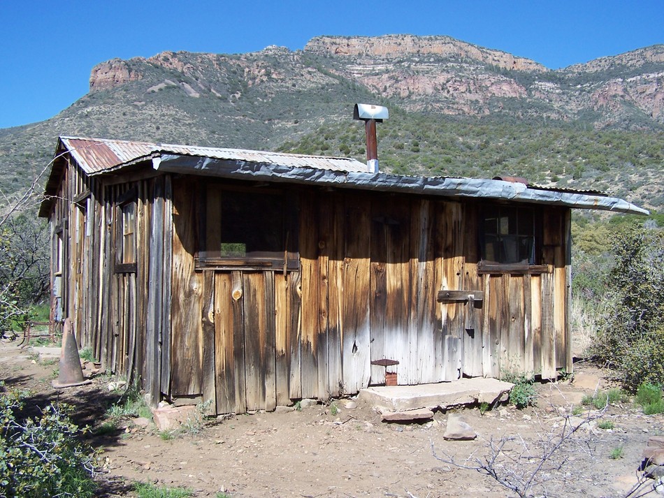
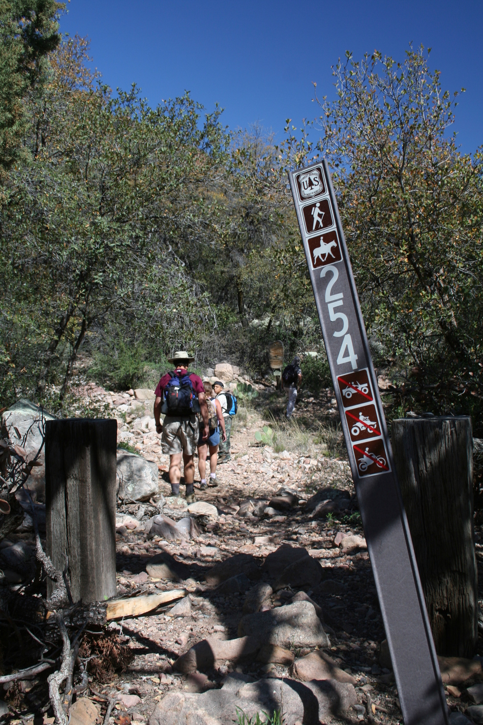
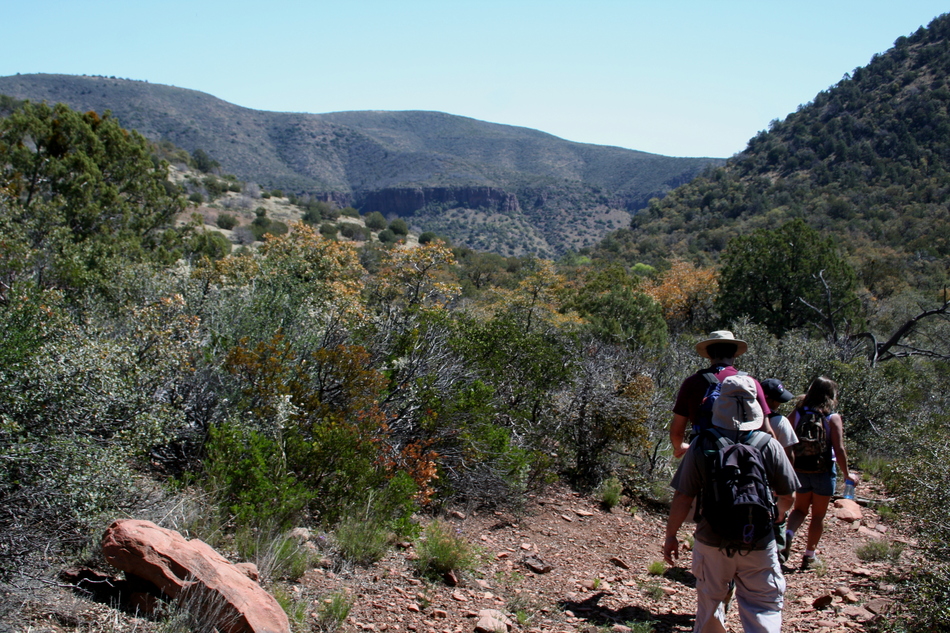
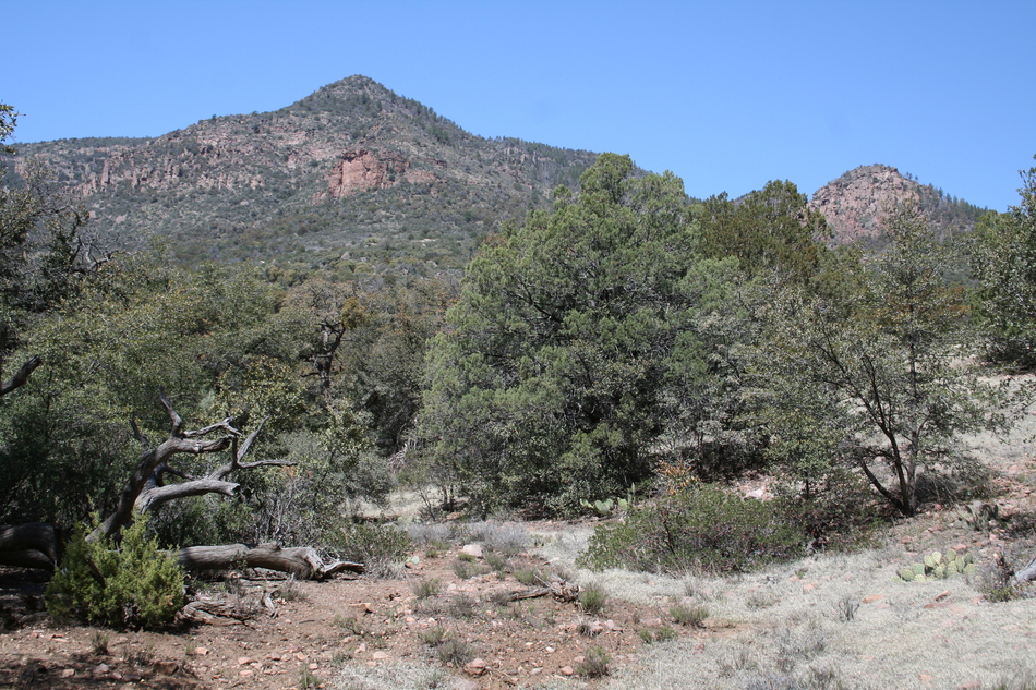
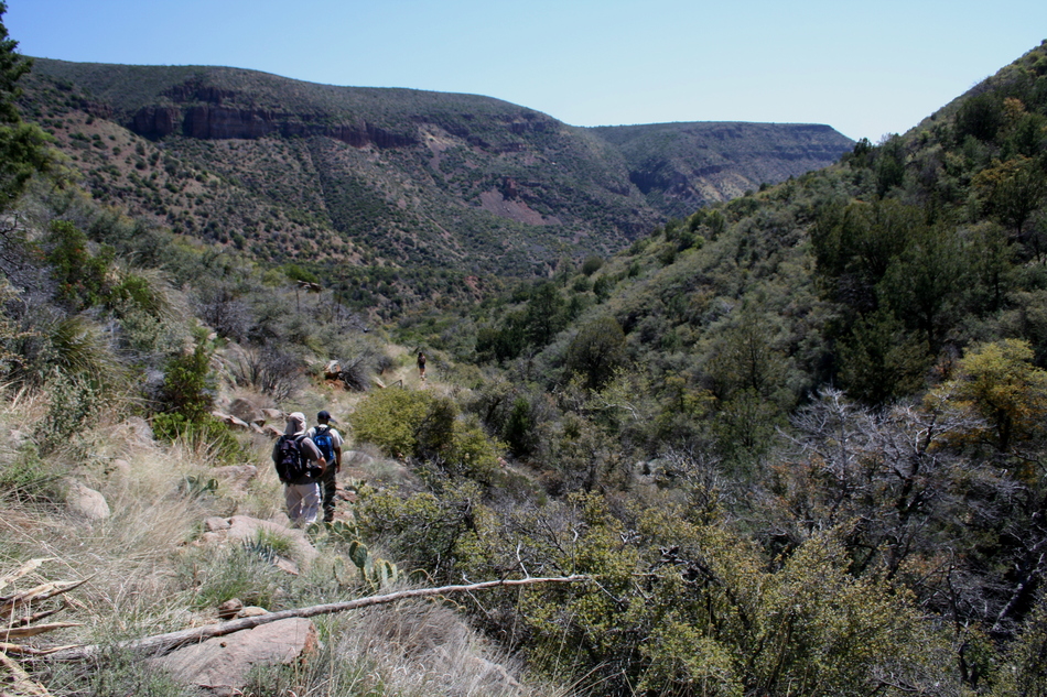
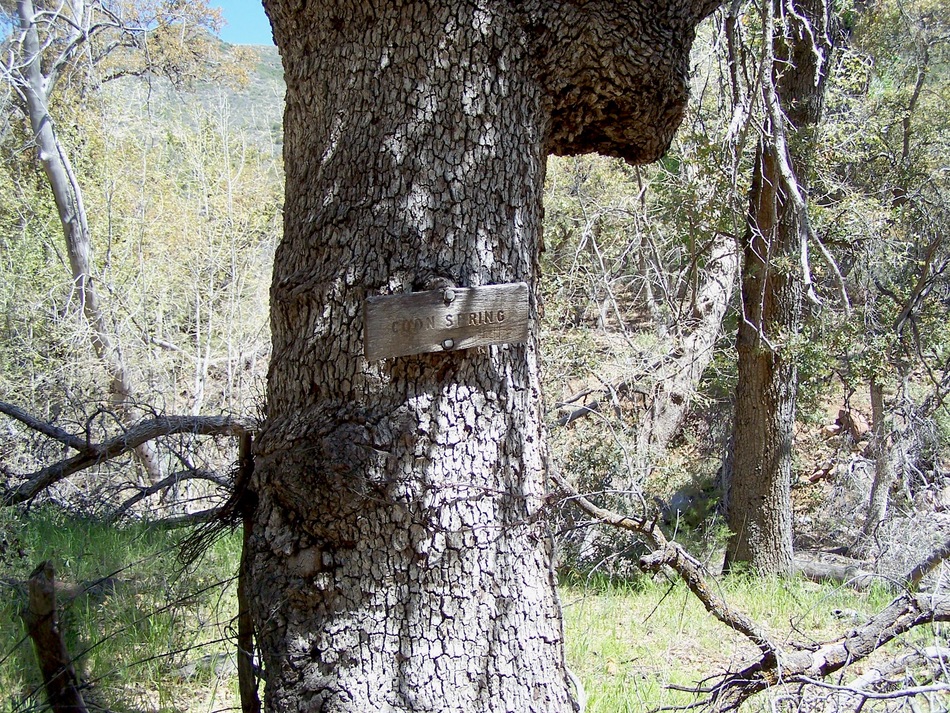
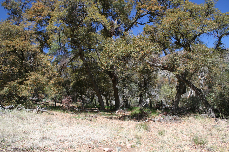
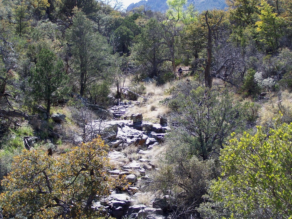
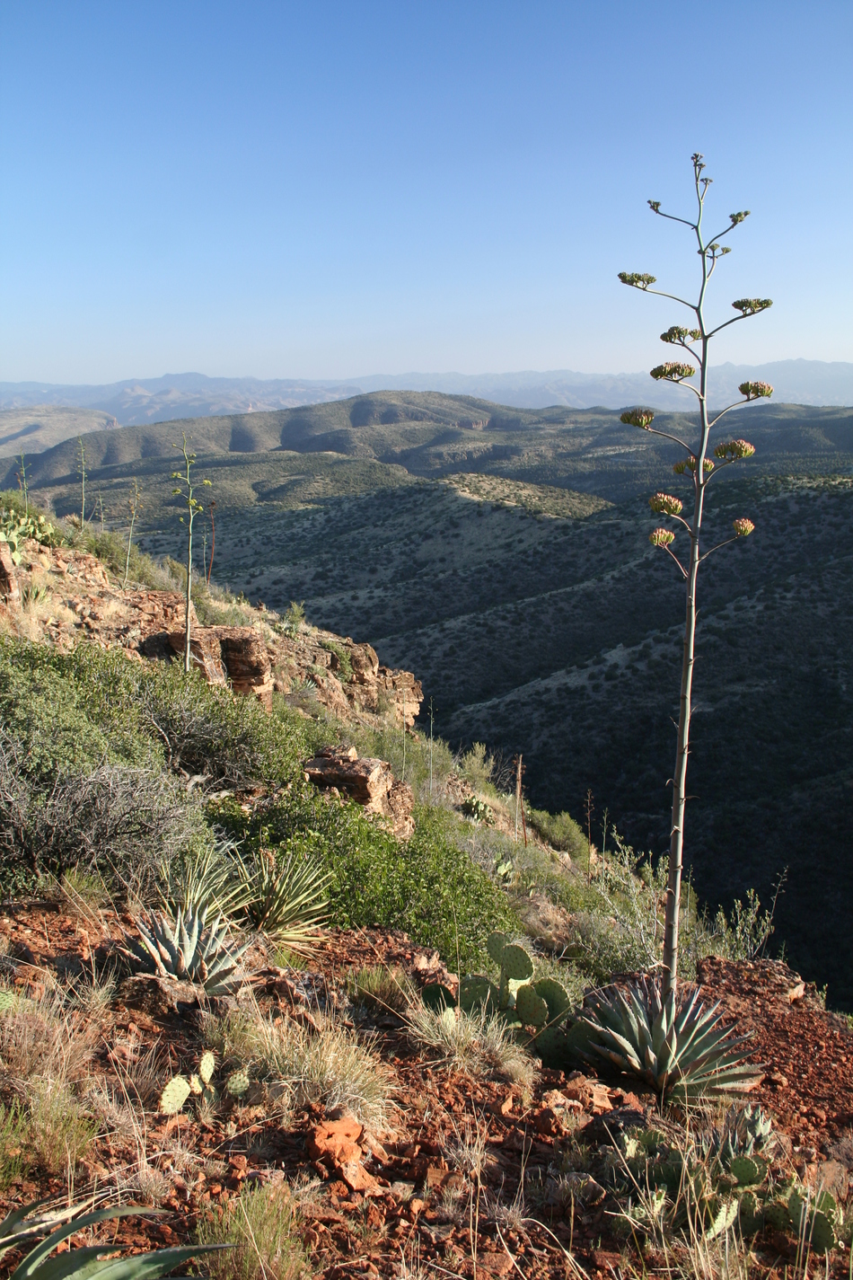
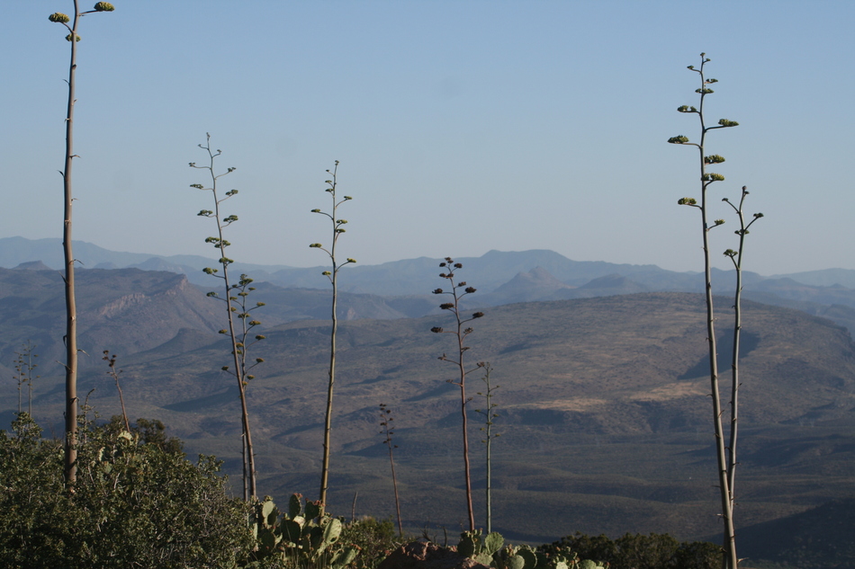
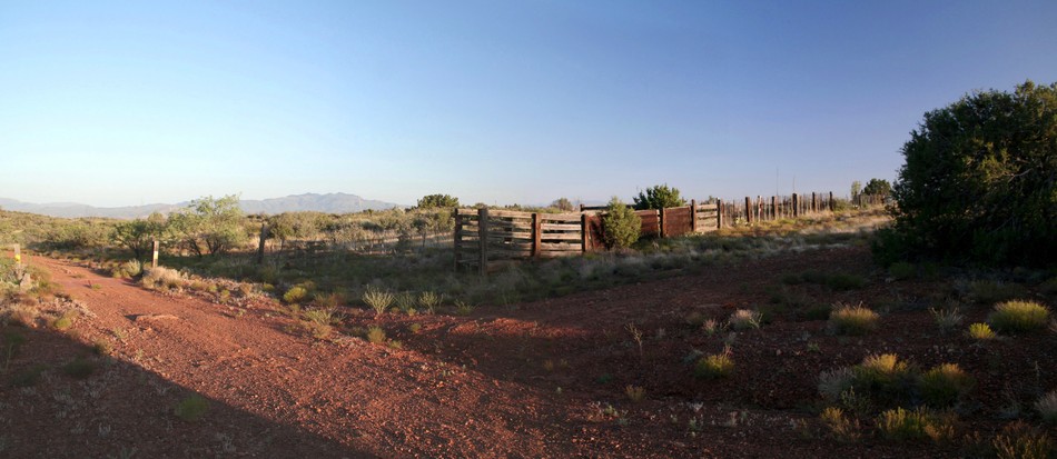
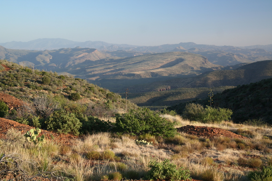
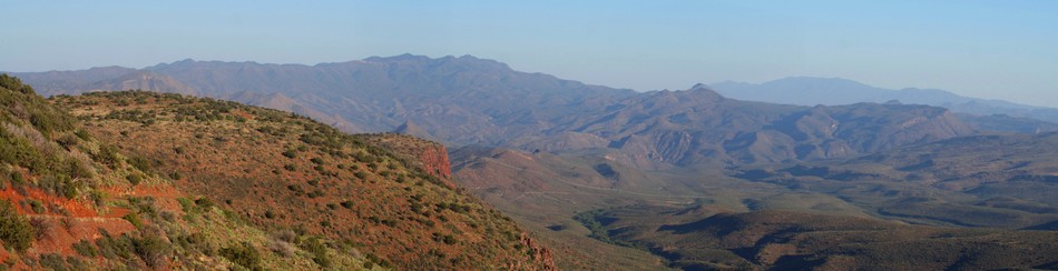
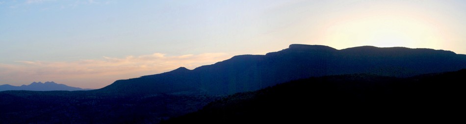
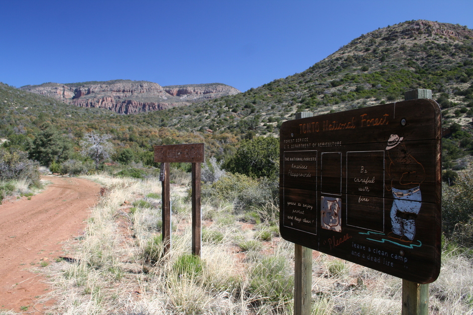
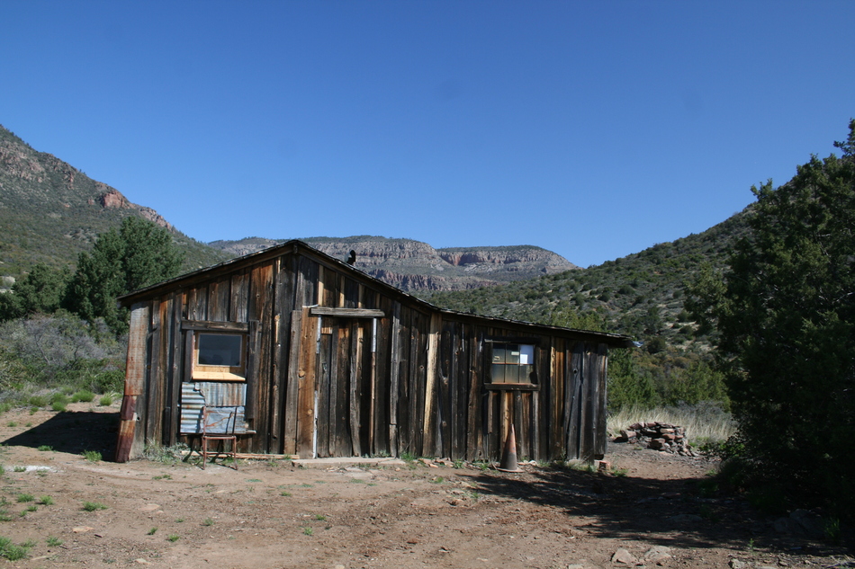
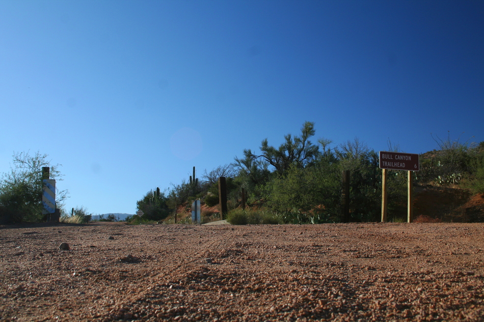
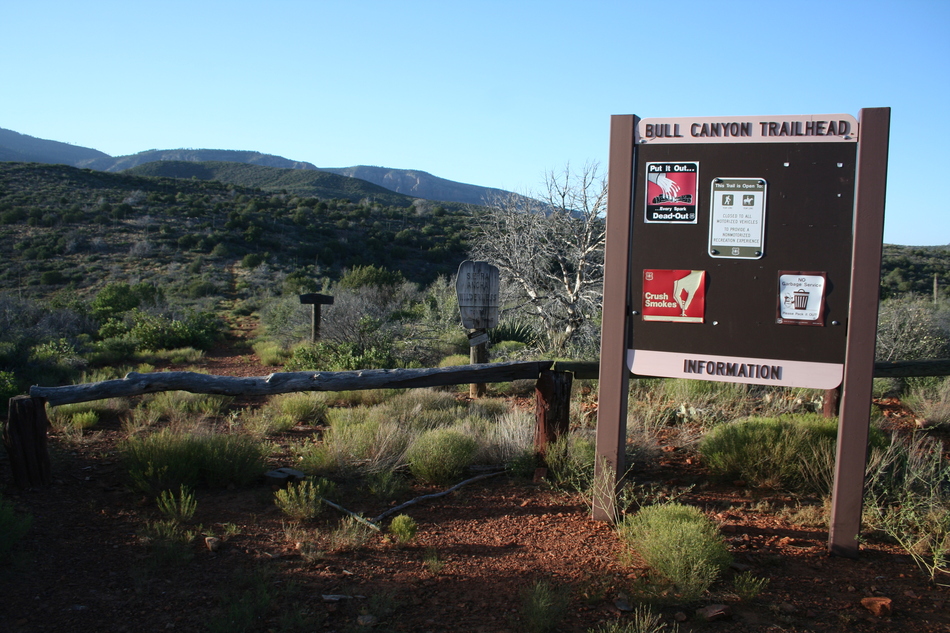
The Hike I'll describe this hike as an easterly trek from the Oak Creek TH to the Bull Canyon TH. FR189 ends at Oak Creek adjacent to the southern boundary of the Sierra Ancha Wilderness. There is an abandoned corral and cabin near the trailhead. Coon Butte dominates the view to the immediate east, while Aztec Peak and Moody Point loom to the north. The trail starts in a northerly direction and is marked "#254" at the Oak Creek TH. This is a recently constructed connector trail, Coon Creek Trail #254, joining with Parker Creek Trail #160. This explains why Trail #254 doesn't appear on most maps. Not to worry, in about 0.9 miles, Coon Creek Trail #254 will intersect with Coon Spring Trail #124 after a steady climb of about 450 feet. The cairn and trail signage at the junction demarcates the maximum trail elevation at 5163 feet. From this trail intersection, Coon Spring Trail #124 will head off on a gentle down slope in an easterly direction. The trail follows a side drainage of Coon Creek. At Mile 1.2 the trail will enter a thicket of trees and cross a relatively flat section. At Mile 1.4, the side drainage plunges over a dry waterfall. The trail becomes steeper at this point as it continues down towards Coon Spring. At Mile 1.8 you enter a riparian area with tall Arizona Cyprus trees and a permanent water supply. This is Coon Spring! There are plenty of suitable camp sites with fire rings near the spring. Soft grass growing in sandy soil makes for a comfortable sleeping surface. There's plenty of evidence of past ranching operations in the area with abandoned corrals, tools, and water troughs. The trail from Coon Spring to the Bull Canyon trailhead is relatively unmarked. Head north up Coon Creek until you reach the first east side drainage. This is best described as a steep bushwhack up the side drainage. You will gain almost 500 feet elevation climbing out of the Coon Creek Canyon. When you top-out at Mile 2.5 you can see an obvious trail formed from the remains of an old jeep trail. The trail follows the edge of Coon Creek Canyon. The next 1.5 miles traverses a chaparral biozone. A forest of century plants with a mix of manzanita and scrub oak dominates the landscape. At Mile 4.0 the Coon Spring Trail #124 intersects with Deep Creek Trail #128. Take the south fork and cross the Sierra Ancha Wilderness boundary near the Bull Canyon trailhead at Mile 4.3. There is an interesting side trek about a half-mile south of the Bull Canyon TH along FR203A. Stop when you reach the cattle guard with an old corral on the west side of the road. Follow the fence line as you work down the slope heading west towards Coon Creek. As you drop into the drainage a cliff will appear to the right containing a cliff dwelling. This is the Nordhoff-Hope Site. From the cliff dwelling you have commanding views of the Coon Creek drainage. The legacy of the Nordhoff-Hope 1880 mineral survey is also evident from the abandoned mining operations dotted along the FR203A route. Summary This hike has shuttle possibilities, particularly in combination with Moody Point Trail #140 (see HAZ hike description) or Parker Creek Trail #160 (see HAZ hike description). I've done this as an "out-and-back" hike from each trailhead to Coon Spring. Although the hike passes through some spectacular wilderness, I found the Forest Road drive to either the Oak Creek TH (western TH) or Bull Canyon TH (eastern TH) the major highlight. Enjoy! Check out the Official Route and Triplogs. Leave No Trace and +Add a Triplog after your hike to support this local community. One-Way Notice This hike is listed as One-Way. When hiking several trails on a single "hike", log it with a generic name that describes the hike. Then link the trails traveled, check out the example. | |||||||||||||||||||||||||||||||||||||||||||||||||||||||||||||||||||||||||||||||||||||||||||||||||||||||||||||||||||||||||||||||||||||||||||||||||||||||||||||||||||||||||||||||||||||||||||||||||||||||||||||||


