 Route Editor

| Guide | ♦ | 17 Triplogs | 1 Topic |
details | drive | permit | forecast | map |
stats |
photos | triplogs | topic | location |
| 299 | 17 | 1 |
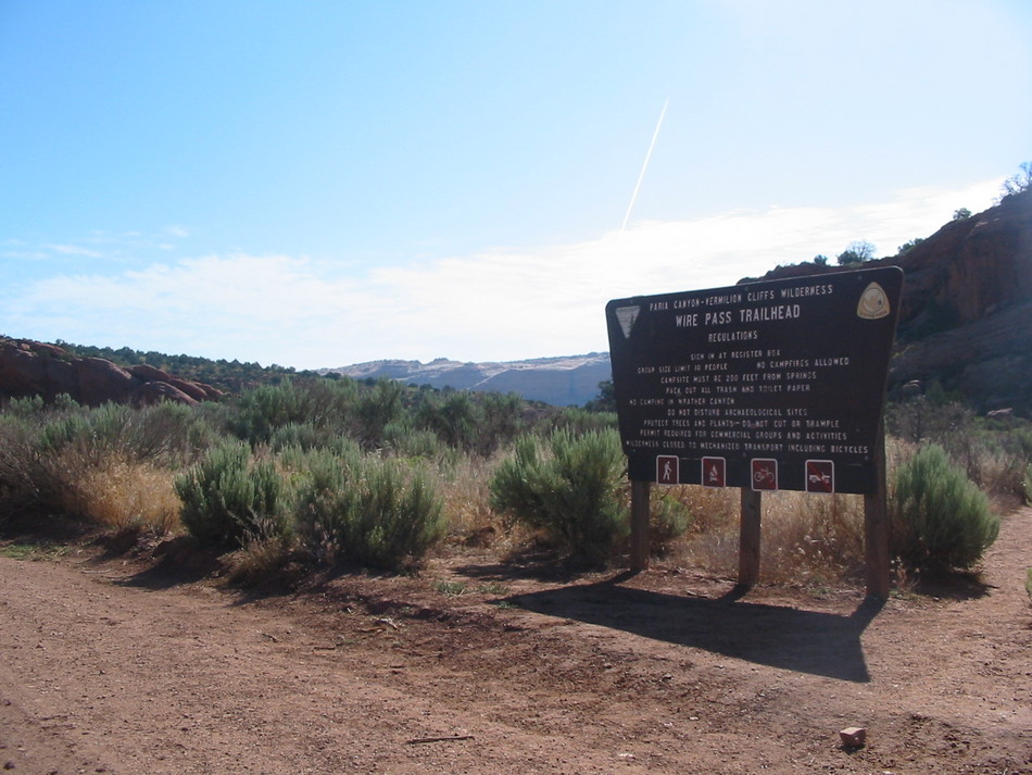
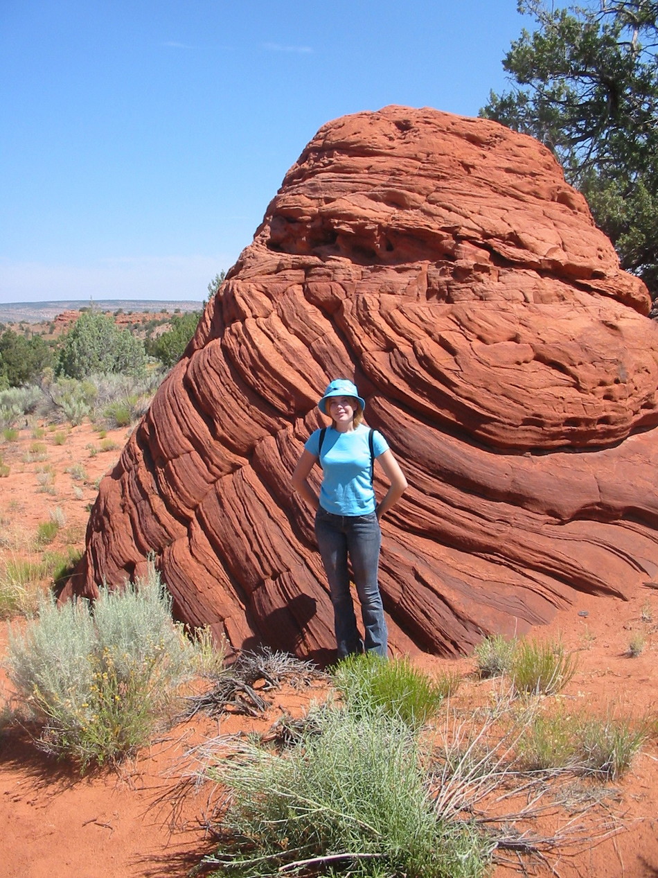
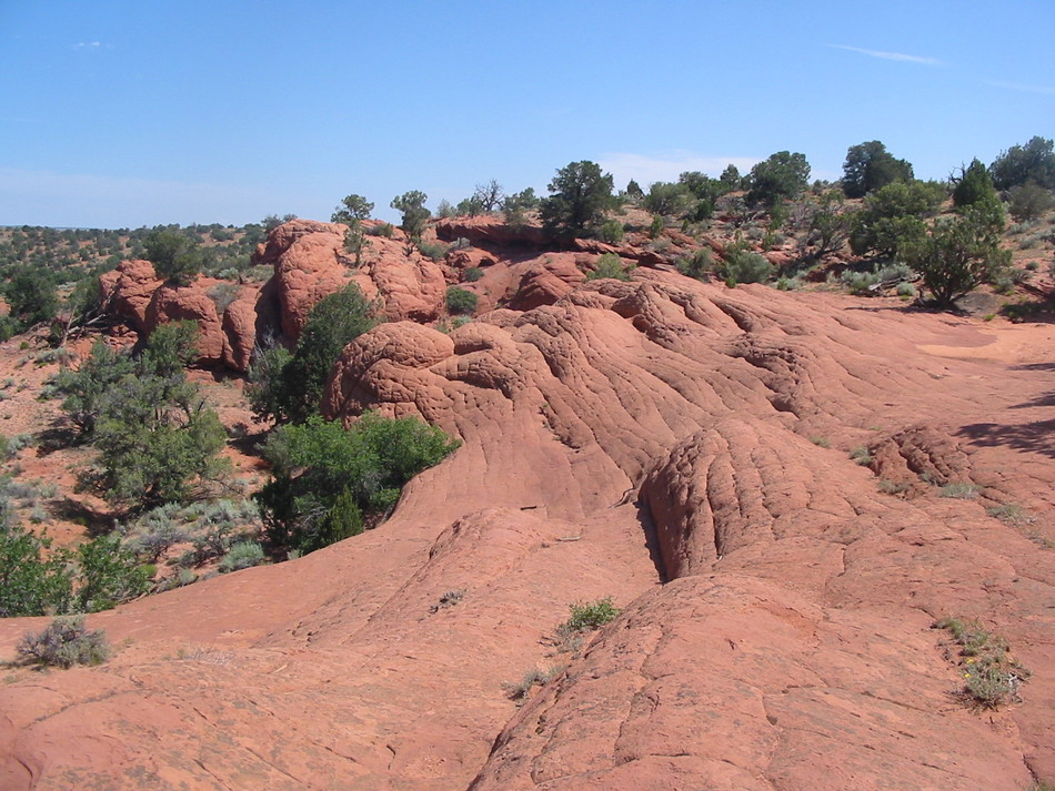
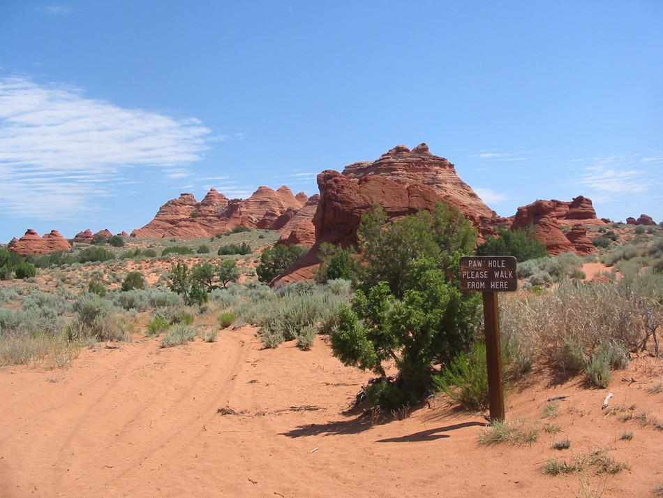
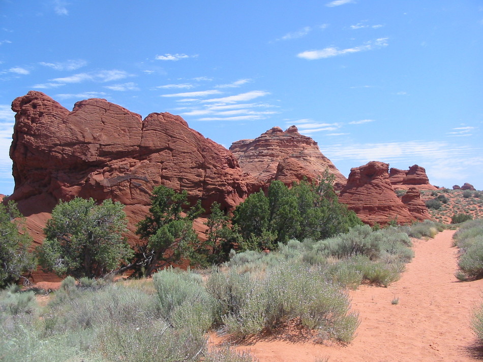
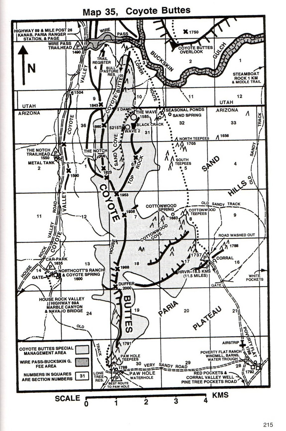
Sand, sand... sandstone! by Randal_Schulhauser   For the popular access to "The Wave" go to Coyote Buttes North via Wire Pass TH in Vermilion Cliffs National Monument. For the popular access to "The Wave" go to Coyote Buttes North via Wire Pass TH in Vermilion Cliffs National Monument.This hike is listed with incomplete data If you have more information hiking Coyote Buttes from Paw Hole Trailhead consider +Add > Publish Guide above. Randal's (stripped from a previous listing) summary should get you started...
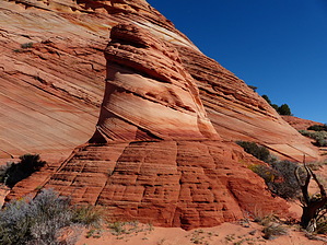
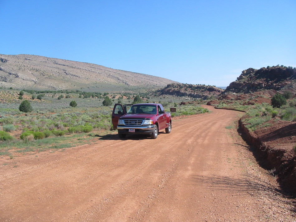
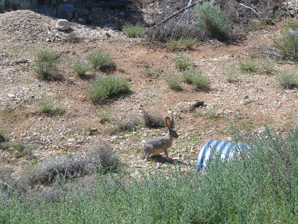
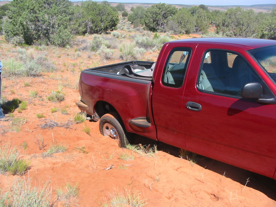
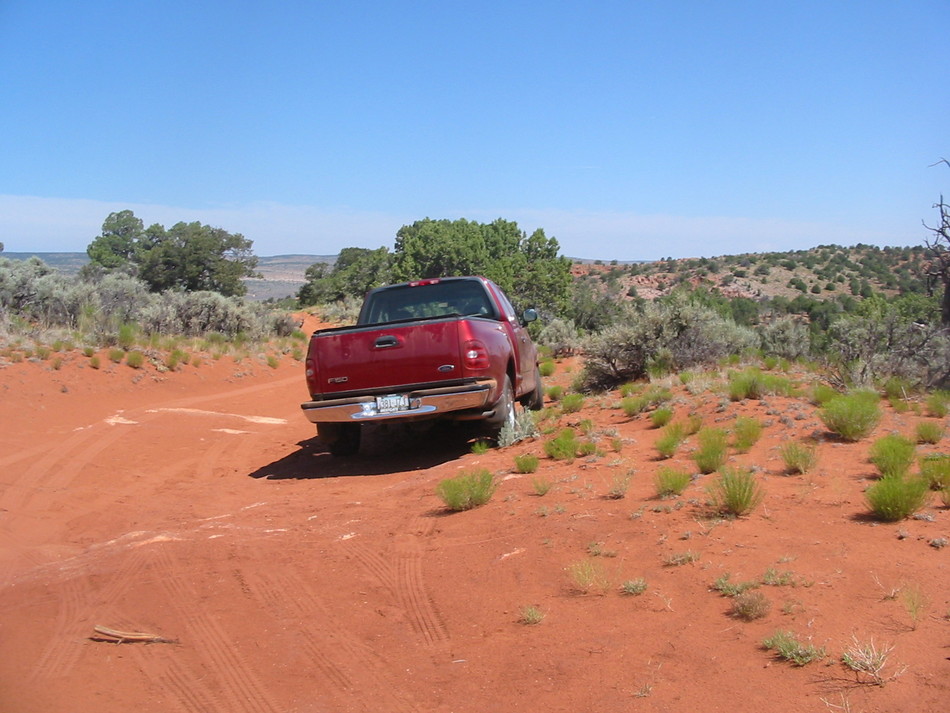
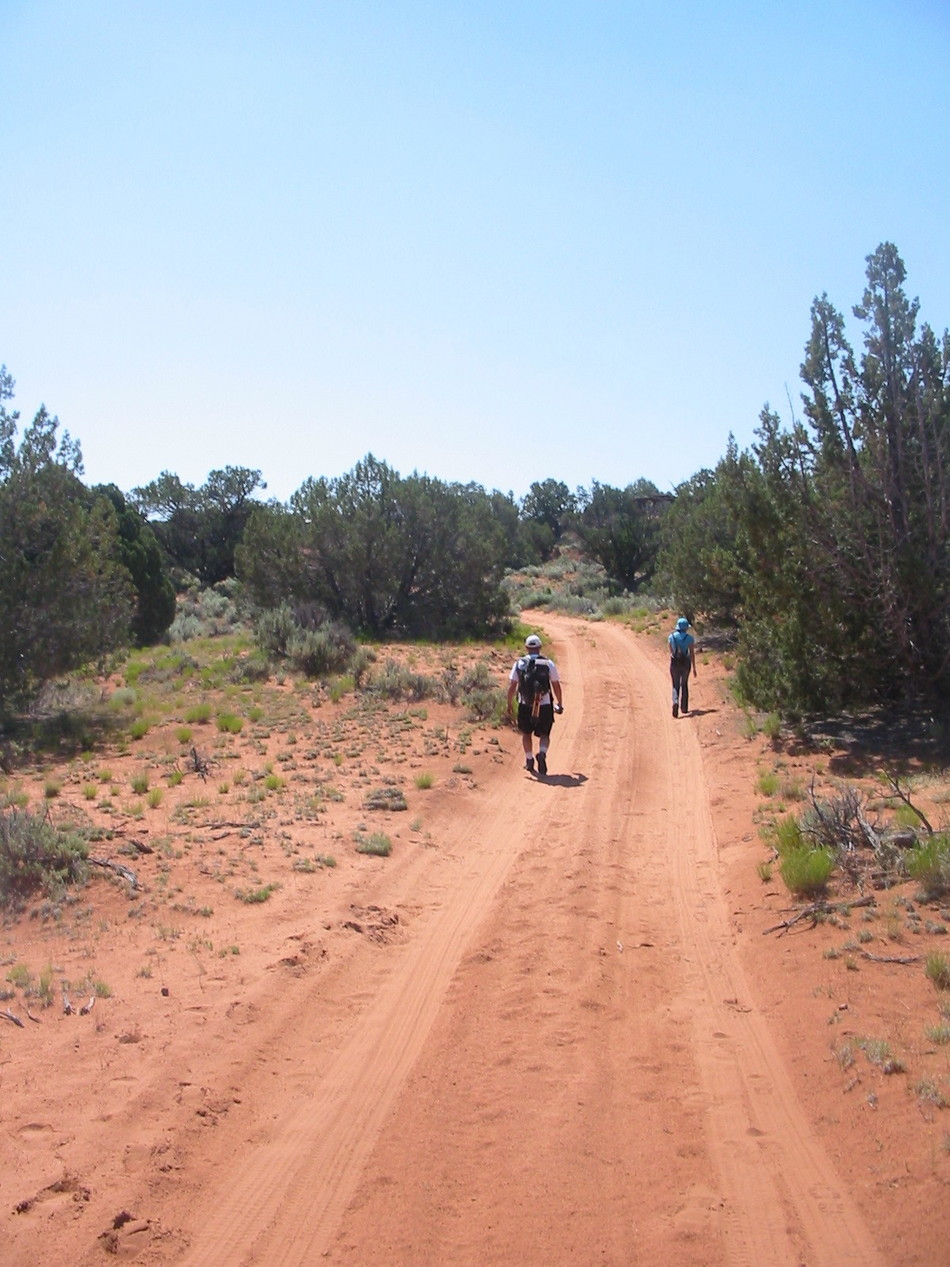
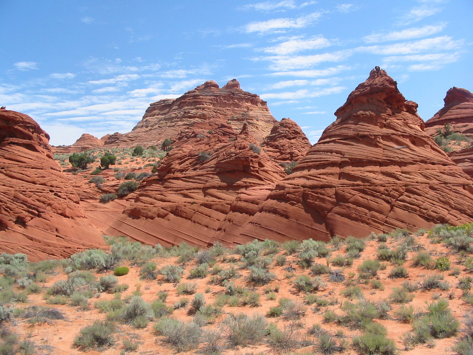
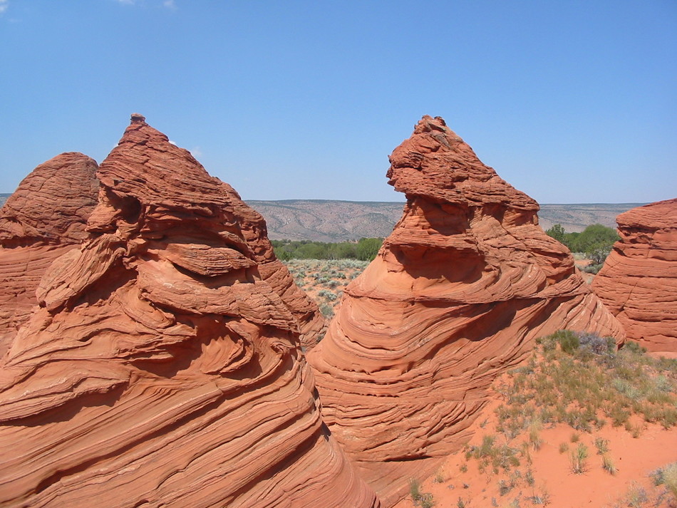
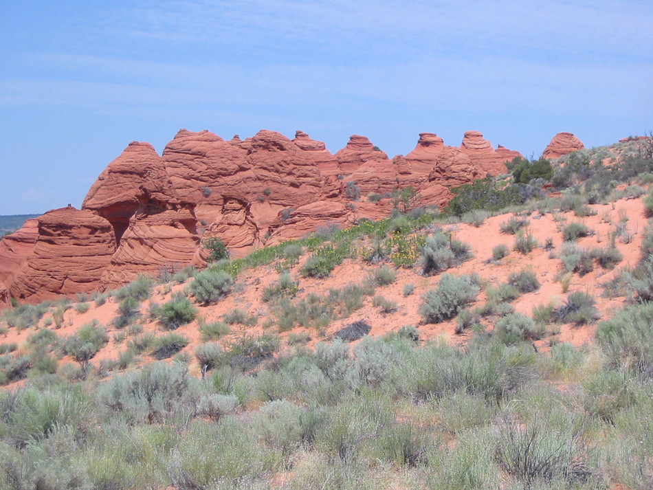
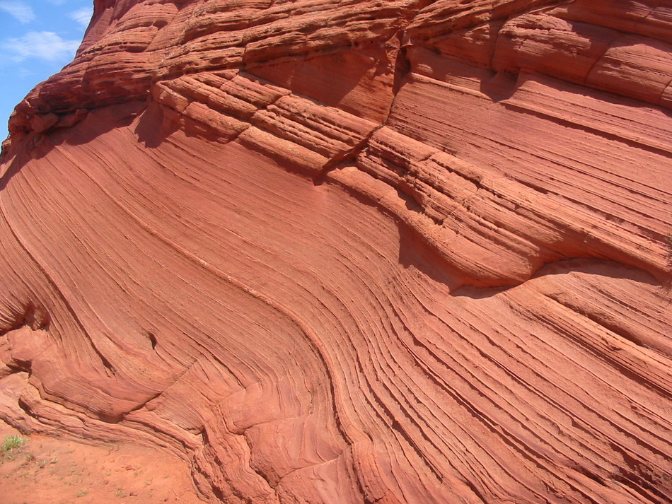
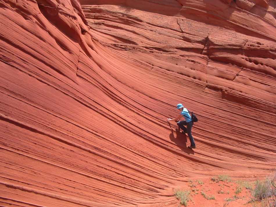
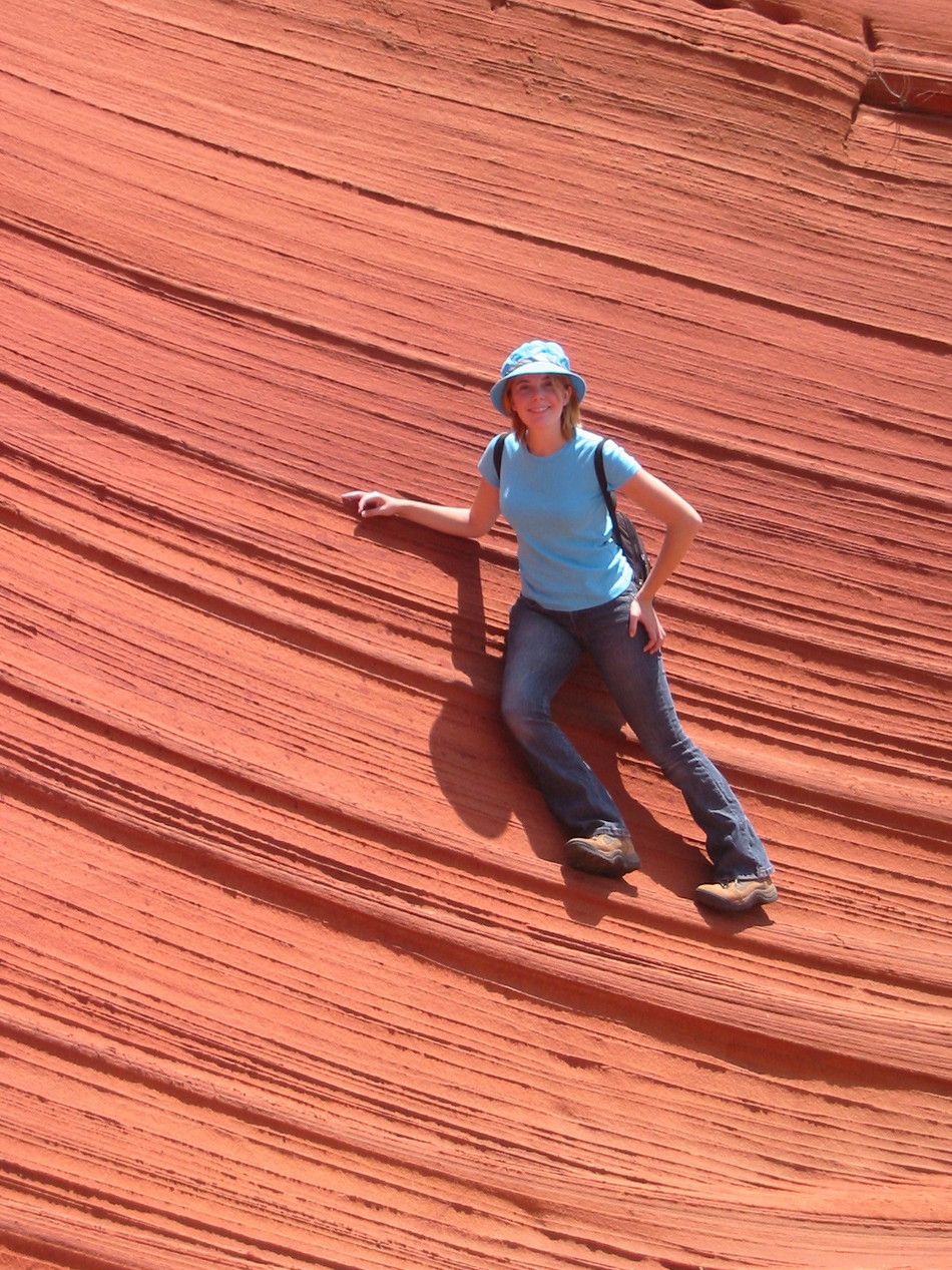
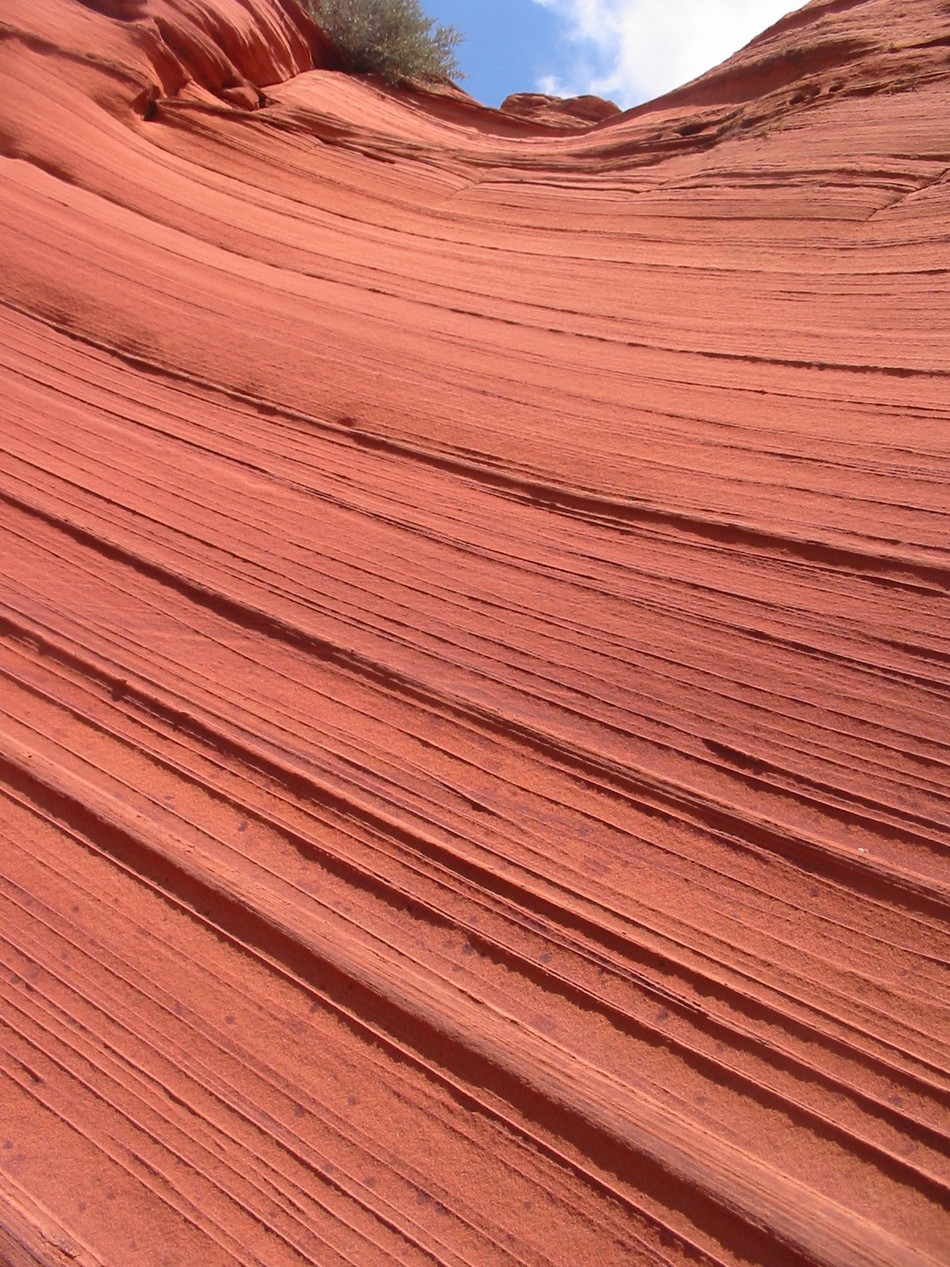
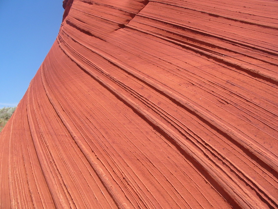
From the Visitor Center, travel West on Hwy 89 about 5 miles. Just as Hwy 89 cuts through the Cockscomb between mile marker 25 and 26, turn South on House Rock Valley Road. For some unknown reason Jack Rabbits are a common sight along this road. For Coyote Buttes North and the Wave, travel about 8.5 miles until you reach the Wire Pass Trailhead. For Coyote Buttes South, travel about 16.1 miles until you reach the Lone Tree Reservoir/Lower Paw Hole Road Junction. There are no signs, but half a dozen culverts are piled on the East side of the intersection. It is HIGHLY ADVISED to park your vehicle here and hike Lower Paw Hole Road to Paw Hole. Lower Paw Hole Road is EXTREMELY SANDY. Hike We turned onto Lower Paw Hole Road and the track seemed firm from the overnight rain. Traveled about a mile when the wheels started to spin. Good thing we always pack a shovel, dug out the wheel, and placed some windfall branches under the tires for traction. Parked the truck and started to hike up to Paw Hole. About 1.5 miles from House Rock Valley Road you will encounter the first of many strange rock formations including a small "teepee" and the "brains". 2.5 miles from House Rock Valley Road there is a sign indicating "Paw Hole - please walk from here". An obvious trail heads North towards the Paw Hole Teepees. There are "chess pieces" and more "teepees" along the trail. And yes, there are "waves". And more "waves". More "waves". And more "waves". And even more "waves" in a 1.5 mile loop back to the Paw Hole TH sign. Walk back along Lower Paw Hole Road 2.5 miles to Lone Tree Reservoir/House Rock Valley Road intersection. Check out the Triplogs. Leave No Trace and +Add a Triplog after your hike to support this local community. | ||||||||||||||||||||||||||||||||||||||||||||||||||||||||||||||


