 Route Editor

| Guide | ♦ | 58 Triplogs | 1 Topic |
details | drive | no permit | forecast | 🔥 route |
stats |
photos | triplogs | topic | location |
| 409 | 58 | 1 |
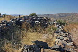
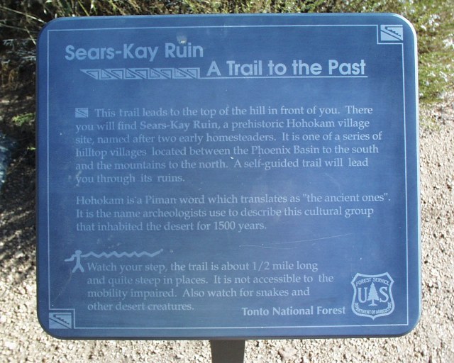
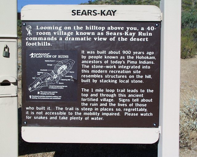
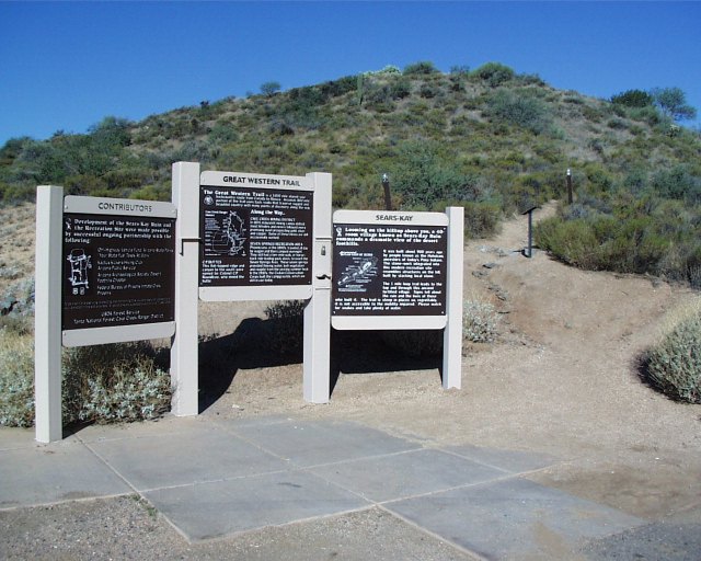
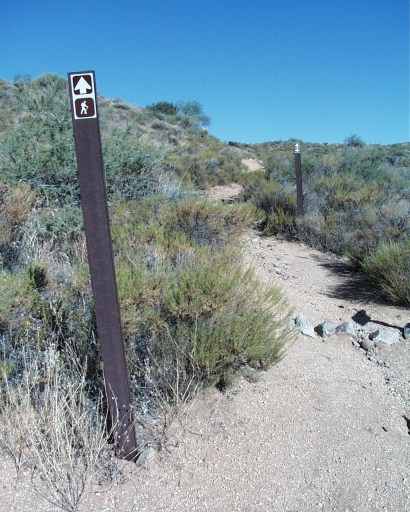
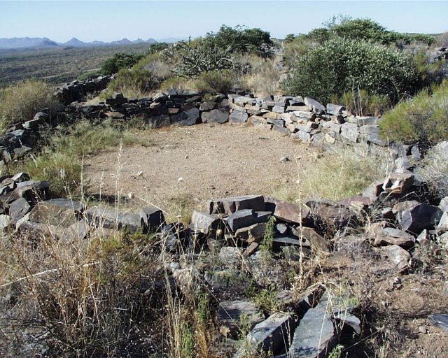
Walk thru history ... by annette  The Hohokam Indians chose a great place to live because this perfect ridge was easy to defend with a few well-placed scouts who could easily check for enemies without the need to travel far. They had panoramic views all around including Pinnacle Peak, Four Peaks, the Superstitions, and Weaver's Needle. The Hohokam Indians chose a great place to live because this perfect ridge was easy to defend with a few well-placed scouts who could easily check for enemies without the need to travel far. They had panoramic views all around including Pinnacle Peak, Four Peaks, the Superstitions, and Weaver's Needle.This can be a very short instructive hike of the Hohokam ruin or a more extended hike down the hill on the southeast side of the ridge and then back to the picnic/restroom/parking area by way of the next ridge.
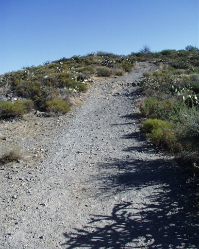
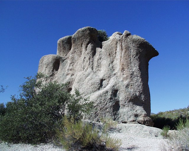
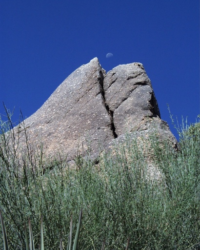
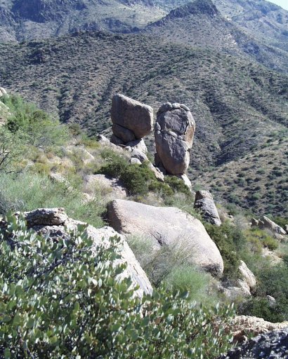
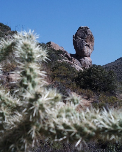
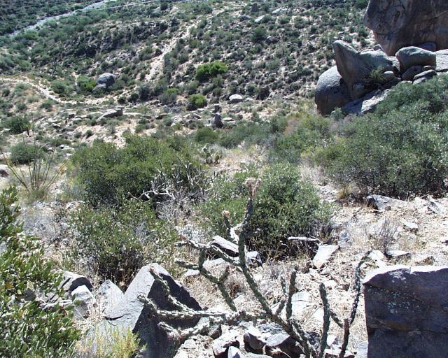
There are some awesome rock formations on the southeast side of the ridge including this one toward the northeast that we dubbed from one angle "The Foot" and from another angle "The Warrior". At this point, we made the decision not to backtrack but to head on down the hill toward the wash to explore and possibly stumble onto the site of an old homestead mentioned on one of the plaques. We never did see the old homestead, but suspect that it might be close to the Sears-Kay Ranch that we could see in the distance. There are several trails in this area, some of which are pretty steep and have loose rock, so be careful if you decide to return this way. We had to climb another very steep ridge which then leveled out under some power lines where we picked up a 4WD road which we followed most of the way back to the parking area. ( Hiked on 09/09/01 ) Check out the Official Route and Triplogs. Leave No Trace and +Add a Triplog after your hike to support this local community. | ||||||||||||||||||||||||||||||||||||||||||||||||||||||||||||||||||||||||||||||||||||||||||||||||||||||||||||||||||||||||||||||||||||||||||||||||||||||||||||||||||||||||||||||||||||||||||||||||||||||||||


