 Route Editor

| Guide | ♦ | 15 Triplogs | 1 Topic |
details | drive | permit | forecast | route |
stats |
photos | triplogs | topic | location |
| 204 | 15 | 1 |
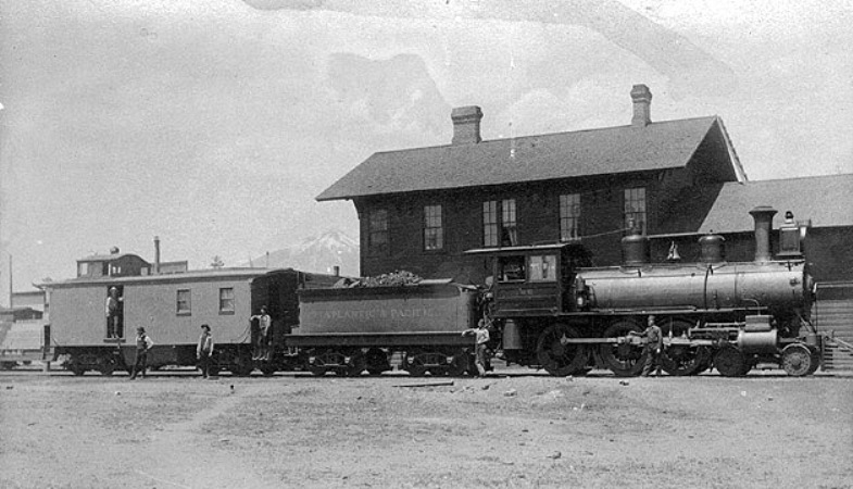
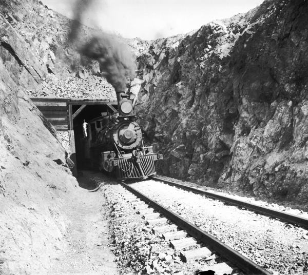
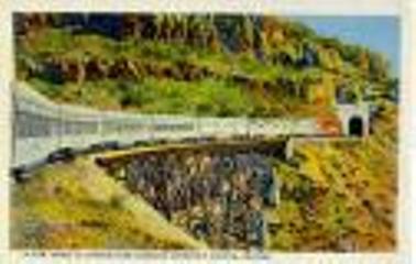
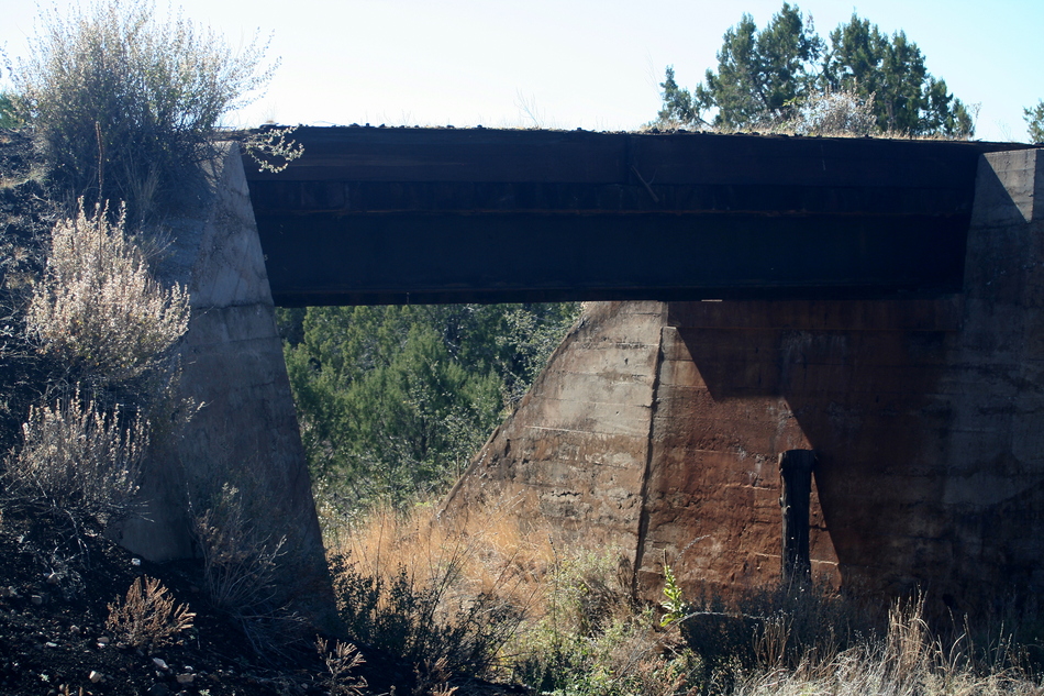
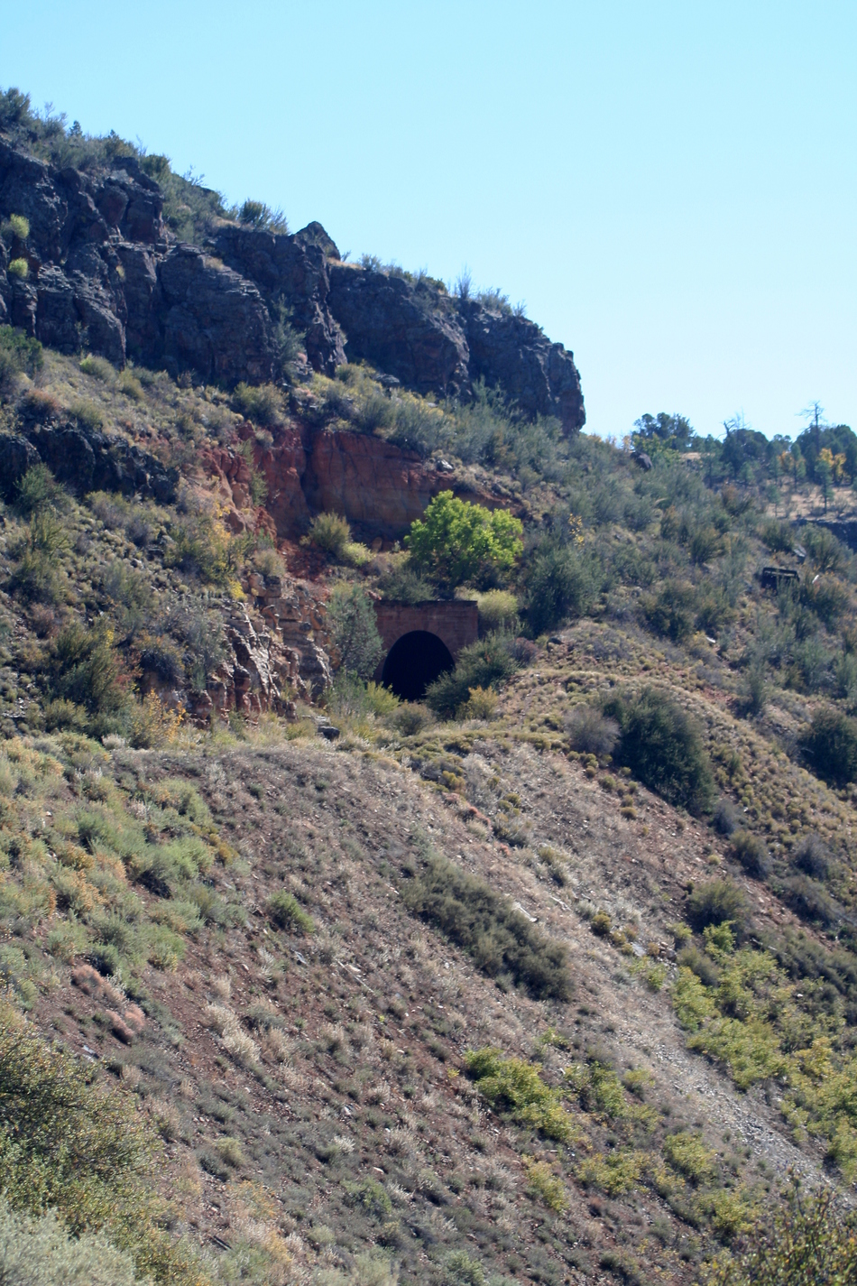
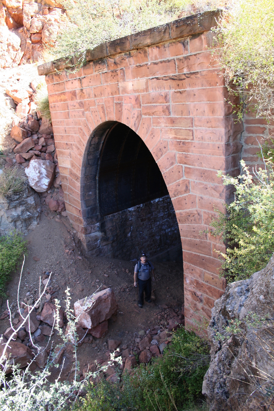
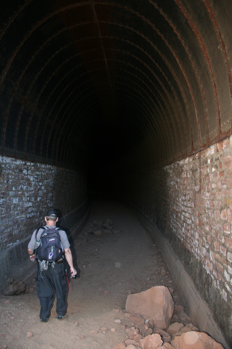
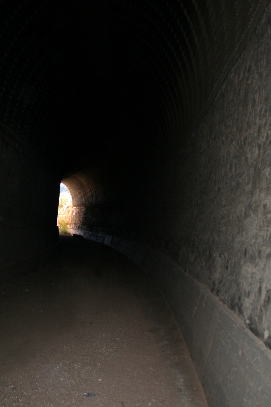
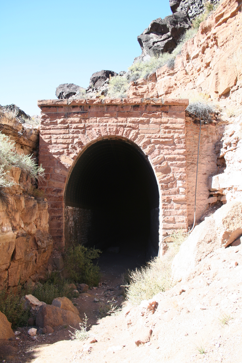
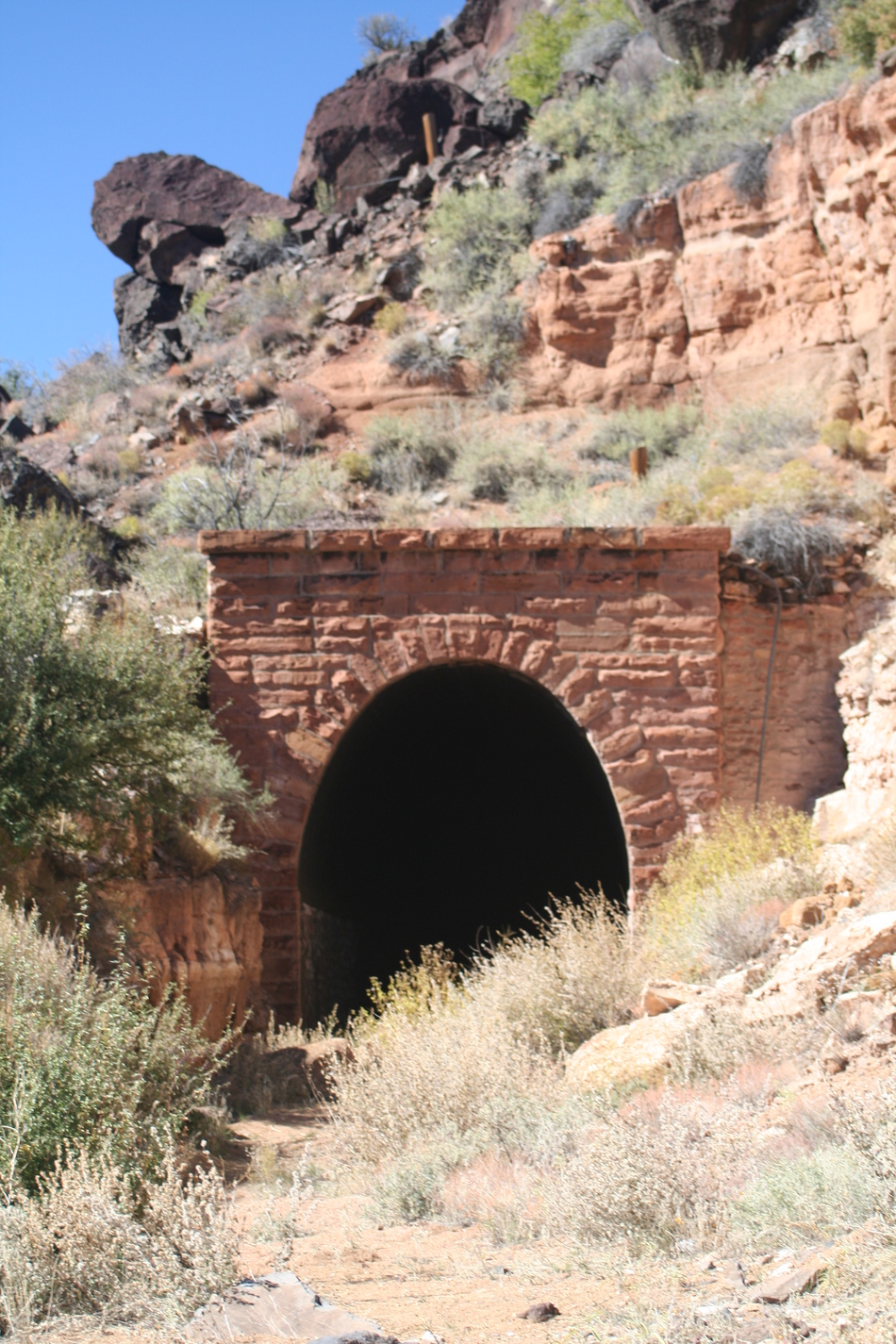
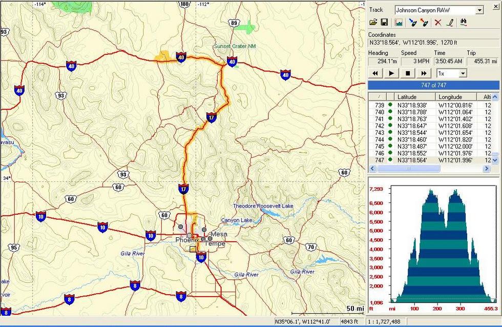
Testing your Johnson by Randal_Schulhauser  Some History Some HistoryIn 1882 the Atlantic and Pacific Railway began constructing the final sections of a northern route through Arizona connecting Kingman, Flagstaff, and Winslow. The grade up the plateau between Ash Fork and Williams proved to be one of the more challenging sections. Engineers finally selected a route through Johnson Canyon requiring some bridging and the only tunnel to be constructed along this northern route. In 1897, the Atchison, Topeka, and Santa Fe RR acquired the Atlantic and Pacific RR assets and operated the route under the ATSF subsidiary Santa Fe Pacific RR. A year later, tragedy struck the route when wooden timbers supporting the Johnson Canyon Railway Tunnel caught fire. At least two men perished fighting the blaze. This prompted reconstruction of the tunnel incorporating steel boilerplate to replace any of the wooden shoring.
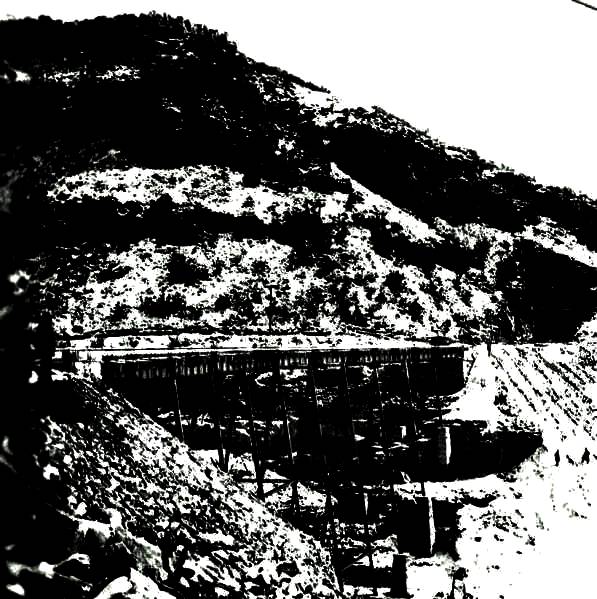
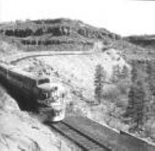
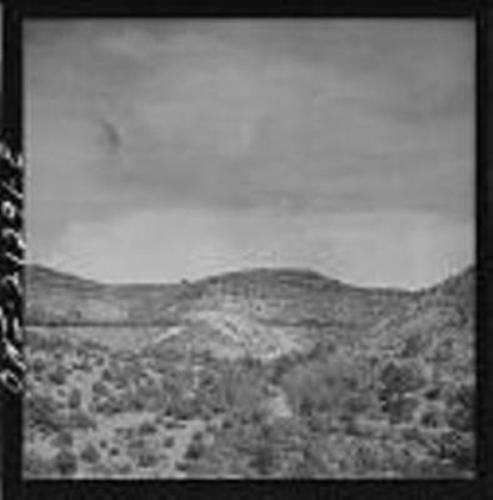
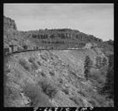
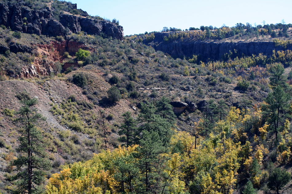
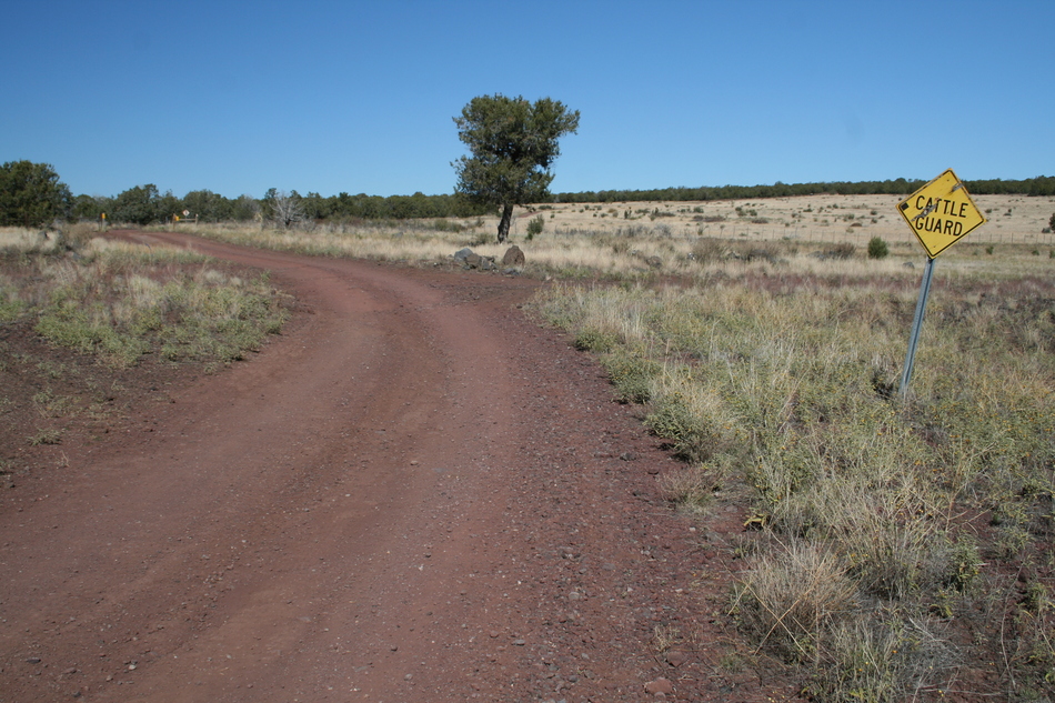
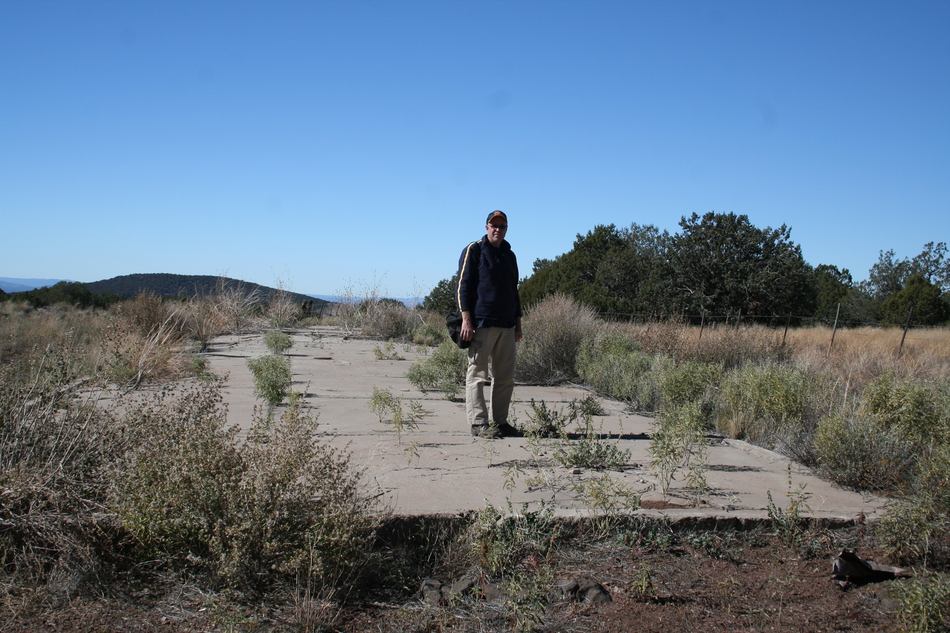
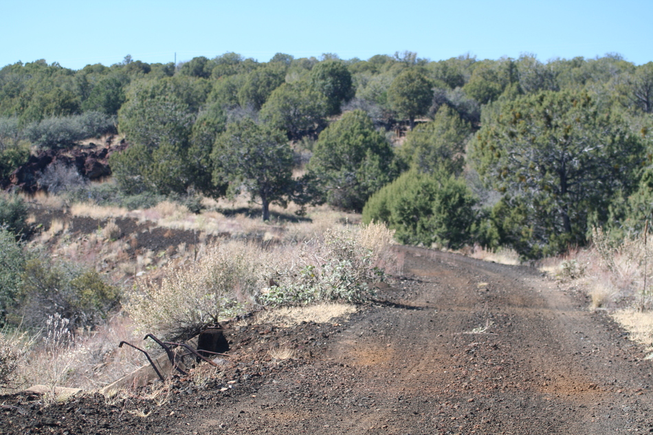
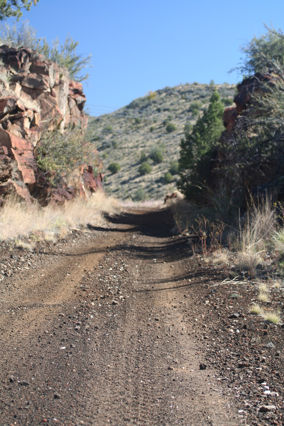
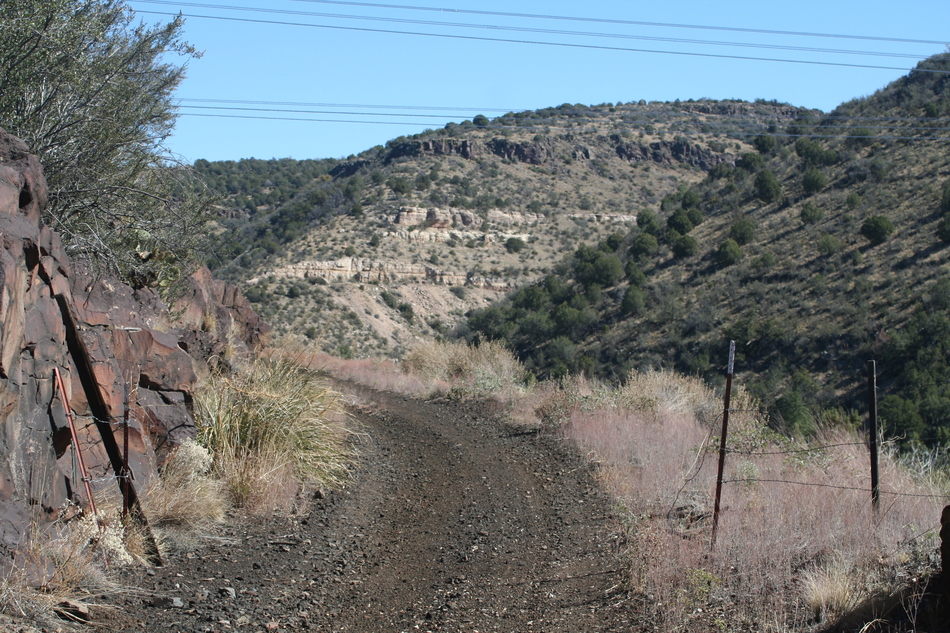
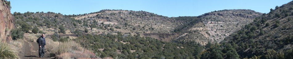
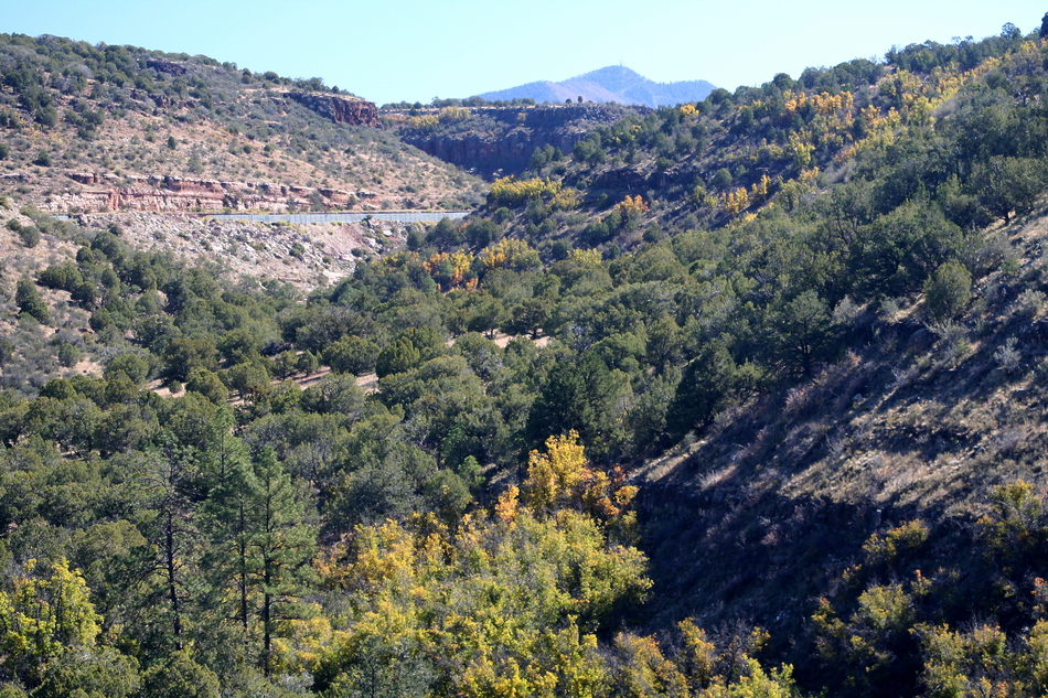
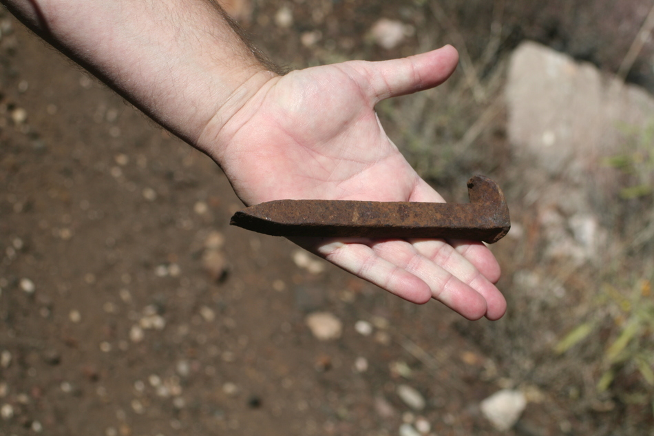
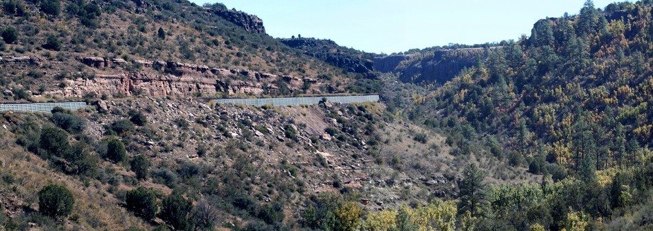
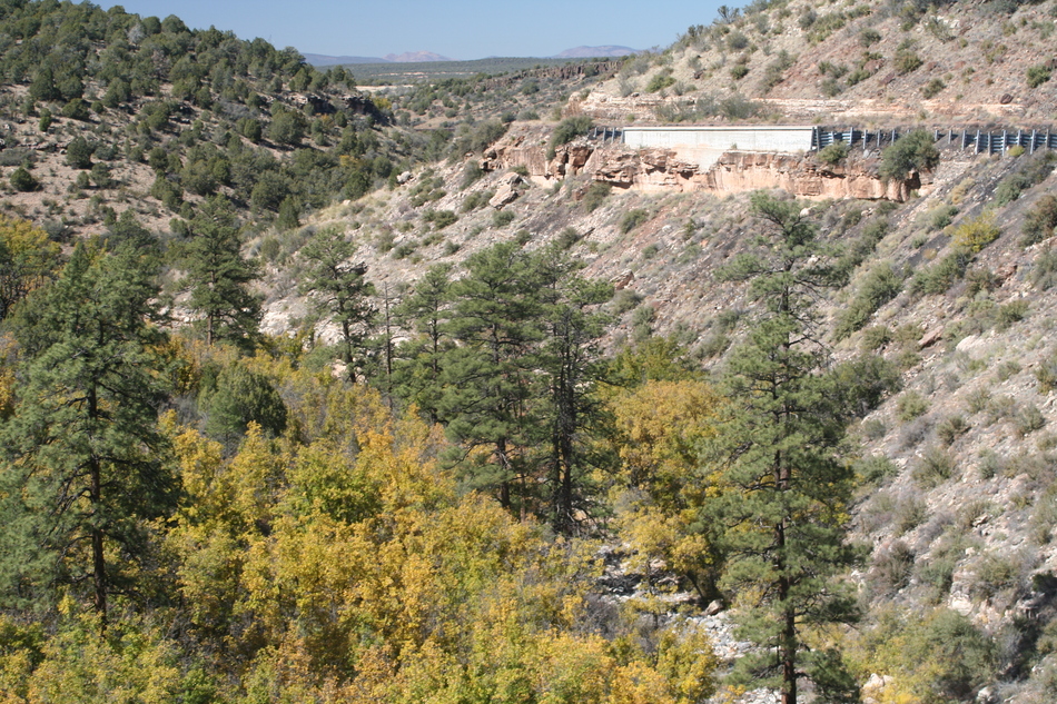
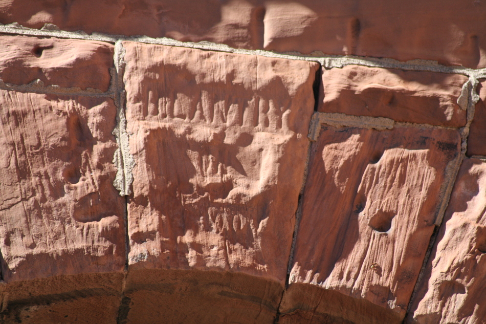
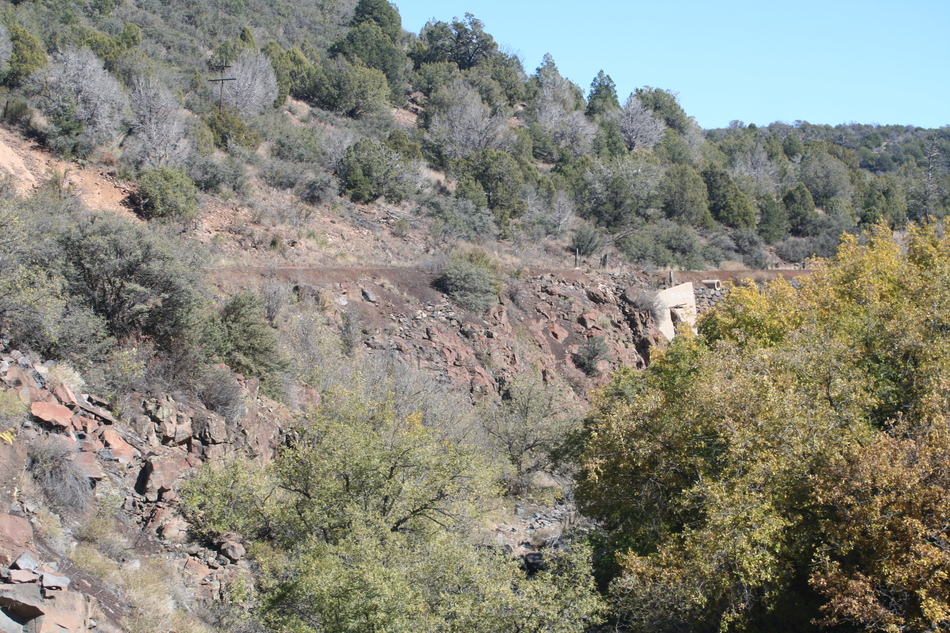
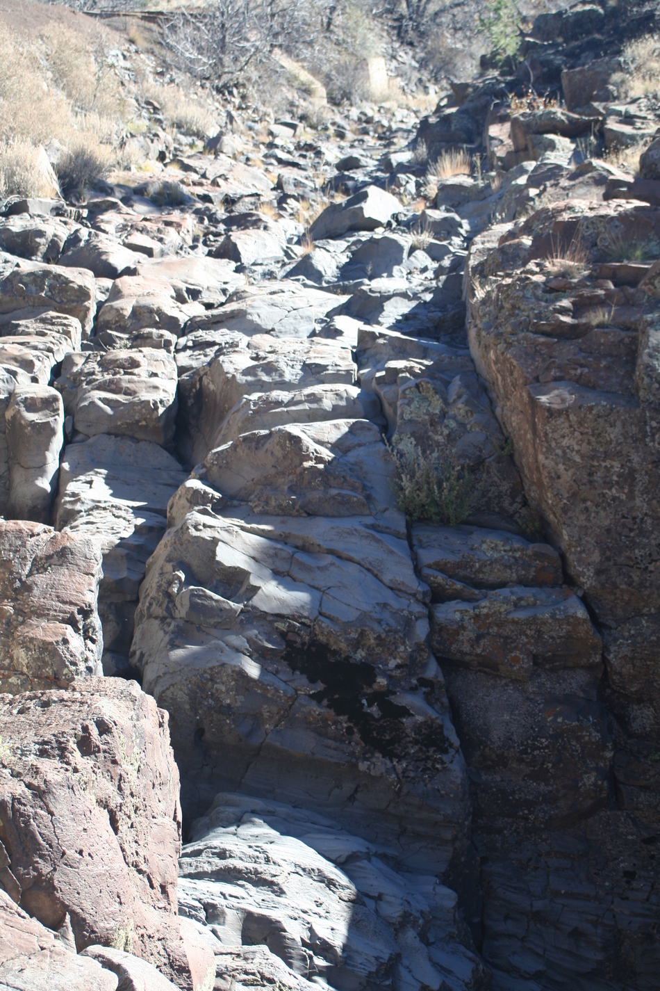
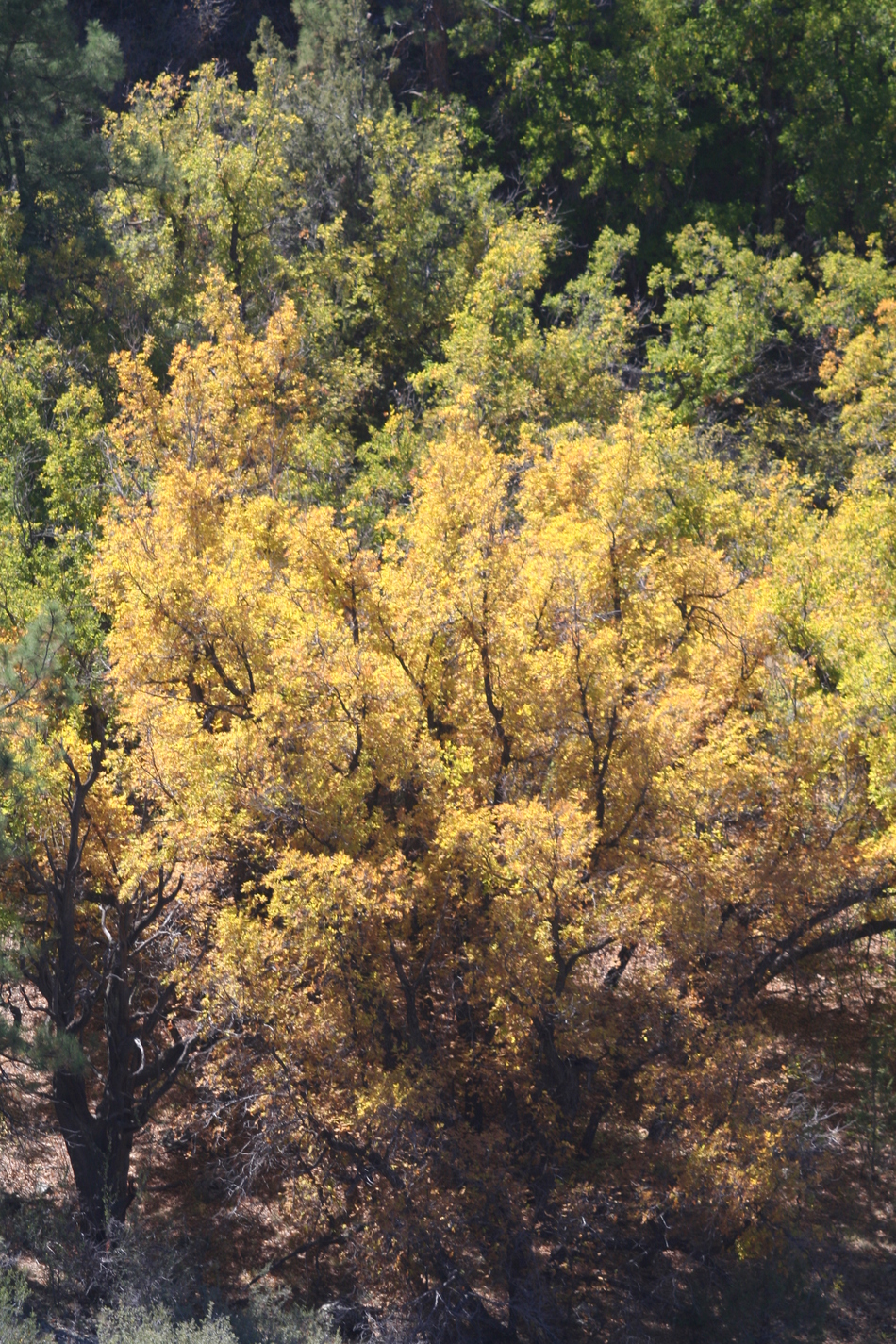
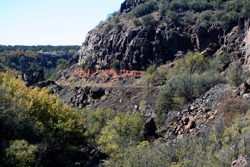
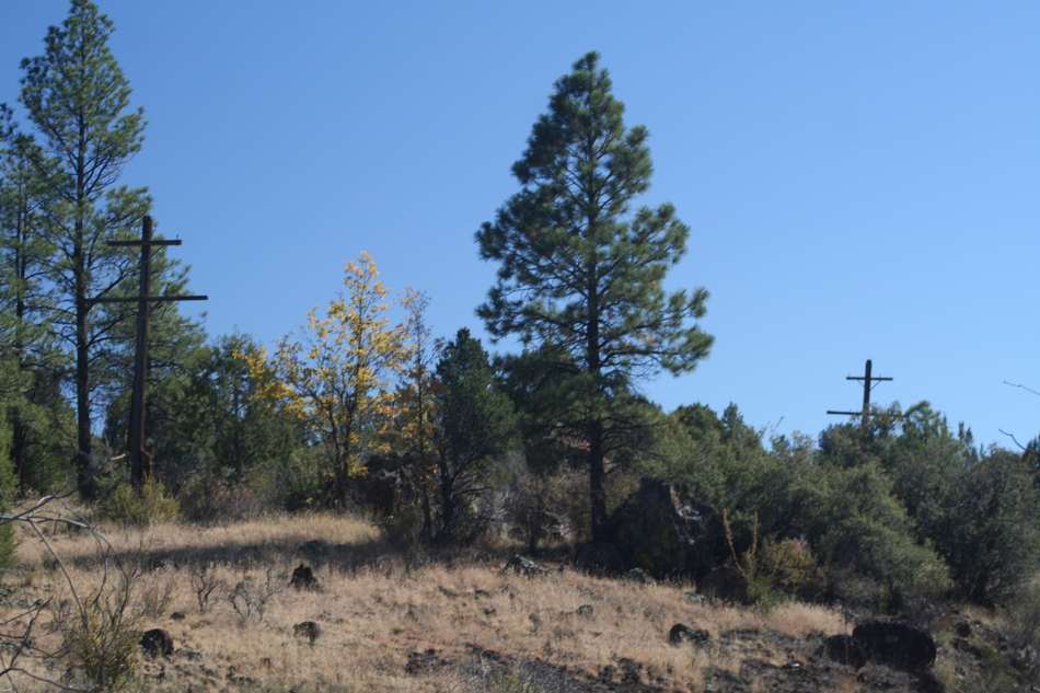
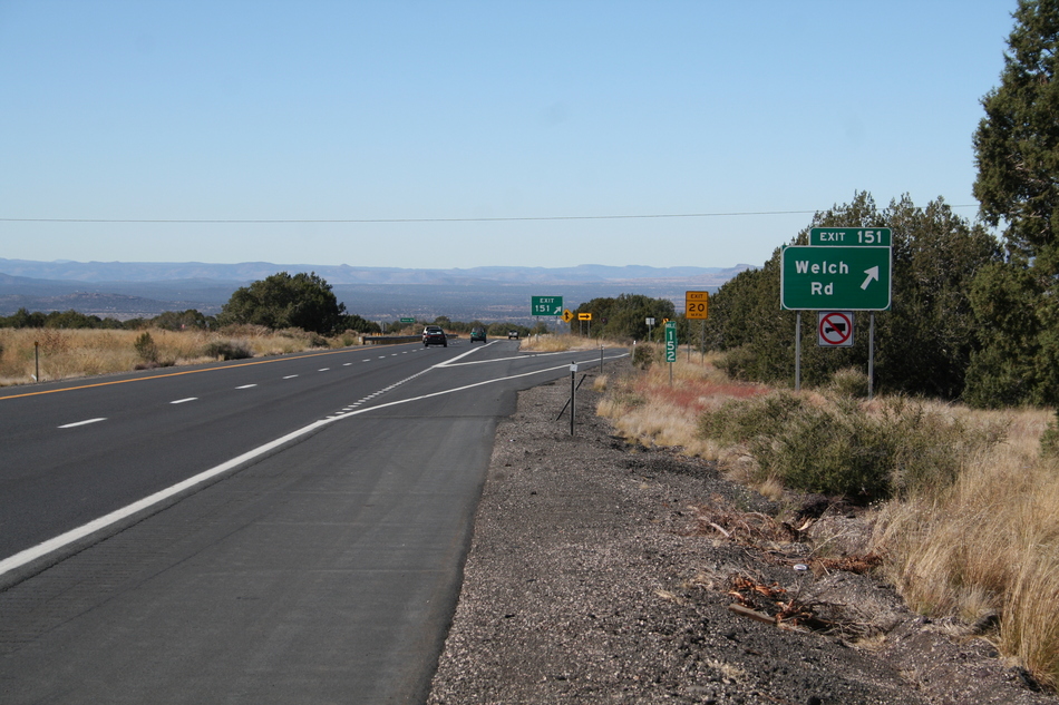
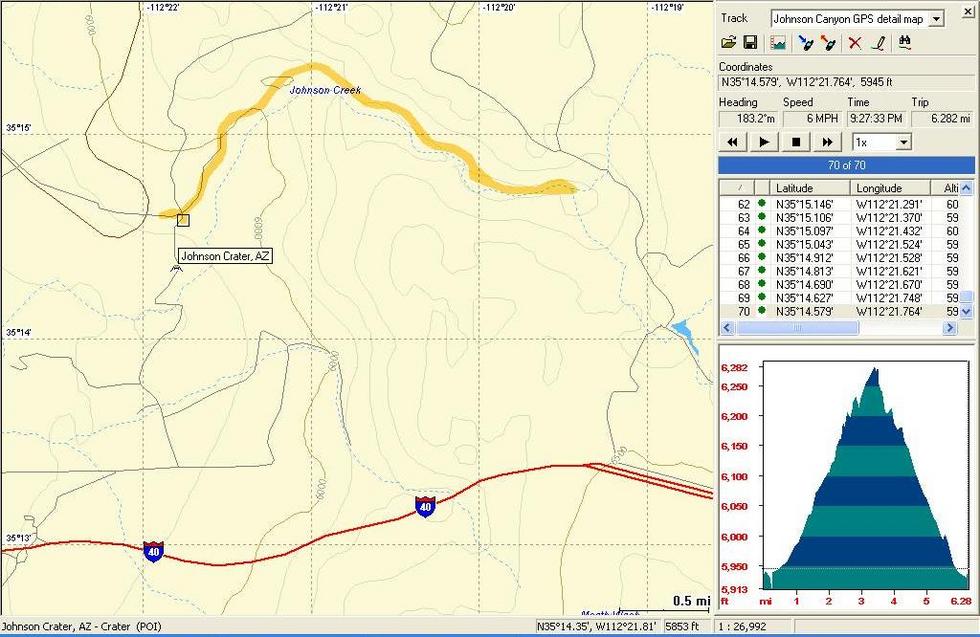
During WWII, this rail route was considered of such strategic military importance that guards were placed by the tunnel to prevent sabotage. Wooden remains of the guardhouse can be found today above the tunnel entrance near a footpath. In 1943, the Office of War Information hired a photographer named Jack Delano to record rail activity along the Santa Fe route. I found two photos of Johnson Canyon by Jack Delano in the War Information archive. It's always interesting to compare some of these older shots to today. It appears that the Santa Fe RR used the steeper Johnson Canyon route for east-west rail travel and the gentler "Coconino Cut" route to the north for west-east rail travel through to the early 1960s. The line was finally abandoned in 1962, and the rails were removed when the "Coconino Cut" route was double-tracked. The Hike Start your hike from the trailhead near the abandoned settlement of Welch Station located near the intersection of FR6 and the abandoned Santa Fe railway right-of-way. If you walk over to the northwest corner of this intersection, you will find a large concrete slab. This is all that remains of the old Welch Station. If you explore the immediate vicinity, you can find remains of some smaller concrete pads, presumably from other support buildings. The hike east along the abandoned roadbed begins on a small flat plain with little grade that soon becomes surrounded by gentle rolling hills. We discovered squash and small gourds growing along the embankments (some of which made their way back home to supplement a Halloween fall season display). There is an intact bridge crossing a small wash that had a particularly high concentration of these yellow and green gourds. Immediately past this bridge is the first noticeable rock cut. As you walk through the cut you will pass under some high voltage transmission lines and will soon be rewarded with your first sweeping views of Johnson Canyon. Continue hiking along the curved railroad grade. Your eyes may be drawn towards the canyon by some of the fall colors . In the distance, your path is made obvious by the steel reinforcement walls used to prevent erosion of the railroad grade. You begin to find railroading artifacts along the trail... a large rivet here and there, an iron rail, footings to hold a signal light, or even a rail spike. We begin to close the distance between us and the steel reinforcement walls without being able to spot the tunnel. Johnson Canyon seems to be at the height of its fall colors dressed in spectacular yellow or green foliage. Some tall Ponderosa Pines are evident in the canyon. As we make our way around a bend, I can spot some masonry work into a cliff beside a rock cut... the entrance to the Johnson Canyon Railway Tunnel! As we get closer and closer to the tunnel entrance, we notice some wooden and steel features sticking up near the roadbed. From the older photos, I believe we are walking over the site of the original trestle. It would appear the bridge was left intact and fill placed all around it. We gaze back down the canyon for one last glimpse before we enter the tunnel. We have traveled 2.4 miles from the FR6 intersection to reach the tunnel entrance. GPS coordinates for the tunnel are 35o 14.820'N, 112o 20.038'W. The west entrance to the tunnel shows some of the stone mason's skills. There are signs of erosion near the entrance but no major obstacles. As you walk into the tunnel, the steel boilerplate that replaces timber shoring after the 1898 fire is very evident. The tunnel gently curves to the left and is only about 400 feet long. The relatively short distance allows sufficient light to pass into the tunnel such that flashlights are not a requirement. The east entrance also has some fine masonry work. The keystone also has an inscription we can't quite make out. Again there are signs of erosion near the entrance, but no major obstacles. We carry on up the Johnson Canyon as it rapidly narrows. A dry fall is evident as we reach to top of the plateau. There are pools of water trapped along the rocky bed. The base of the dry falls seems to offer some of the best colours of the day. Above the dry falls a Ponderosa Pine forest dominates the landscape. We are 3.1 miles from the FR6 trail head and decide this is a good point to turn around. Summary The Johnson Canyon Railway Tunnel Trail provides an interesting and unique glimpse into our railway heritage. One of my hiking adventurers had significant surgery during the summer, and we used this hike to test his recovery. The abandoned railway bed provided an obstacle-free route in a relatively isolated area. I'd say it was the perfect choice to help get him reacquainted with hiking again. Enjoy!
Check out the Official Route and Triplogs. Leave No Trace and +Add a Triplog after your hike to support this local community. | |||||||||||||||||||||||||||||||||||||||||||||||||||||||||||||||||||||||||||||||||||||||||||||||||||||||||||||||||||||||||||||||||||||||||||||||||||||||||||||||||||||||||||||||||||||||||||


