 Route Editor

| Guide | ♦ | 58 Triplogs | 0 Topics |
details | drive | no permit | forecast | 🔥 route |
stats |
photos | triplogs | topics | location |
| 924 | 58 | 0 |
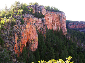
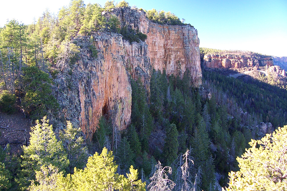
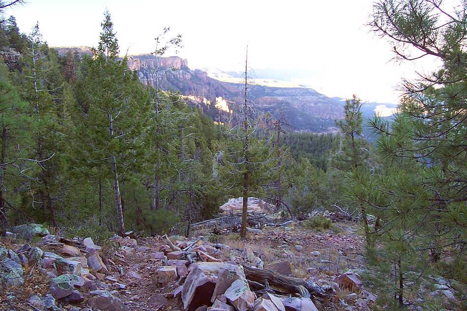
Rocky Top by PrestonSands   The Center Mountain Trail #142 is a lightly used trail that climbs up and over 7500 foot Center Mountain, along the sheer eastern edge of the Sierra Ancha Wilderness. Two trailheads access this trail: Reynolds Creek and Billy Lawrence. Supposedly, a 4x4 is required to reach the Billy Lawrence Trailhead, so this hike description will describe the hike from the 2wd, high-clearance accessible Reynolds Creek Trailhead (just read the description in reverse if starting from the Billy Lawrence Trailhead). The total round trip mileage given in this description includes the 2.5 round trip miles on the Reynolds Creek Trail to access the Center Mountain Trail. This hike has a lot of exposed areas: beware of lightning! The Center Mountain Trail #142 is a lightly used trail that climbs up and over 7500 foot Center Mountain, along the sheer eastern edge of the Sierra Ancha Wilderness. Two trailheads access this trail: Reynolds Creek and Billy Lawrence. Supposedly, a 4x4 is required to reach the Billy Lawrence Trailhead, so this hike description will describe the hike from the 2wd, high-clearance accessible Reynolds Creek Trailhead (just read the description in reverse if starting from the Billy Lawrence Trailhead). The total round trip mileage given in this description includes the 2.5 round trip miles on the Reynolds Creek Trail to access the Center Mountain Trail. This hike has a lot of exposed areas: beware of lightning!At the Reynolds Creek Trailhead, begin following the Reynolds Creek Trail #150, as it heads up Reynolds Creek. After a half-mile of steady climbing, the canyon narrows, and the trail crosses a cliff face by following a rocky ledge. Reynolds Creek Falls is somewhere below this cliff, obscured by tall firs and rocky depths. Above the falls, the trail switchbacks up a rocky slope, then descends to the floor of Reynolds Creek. At 1.25 miles, the Reynolds Creek Trail meets the Center Mountain Trail in the cool forests of the high Ancha country. Turn left onto the Center Mountain Trail, and follow it up a forested side drainage of Reynolds Creek. After a quarter-mile on the Center Mountain Trail, you will pass a short connector trail that links to the Reynolds Creek Trail. A few hundred feet beyond there, the trail meets up with an unmarked trail that goes uphill. The Center Mountain Trail bends left (north) at this intersection.
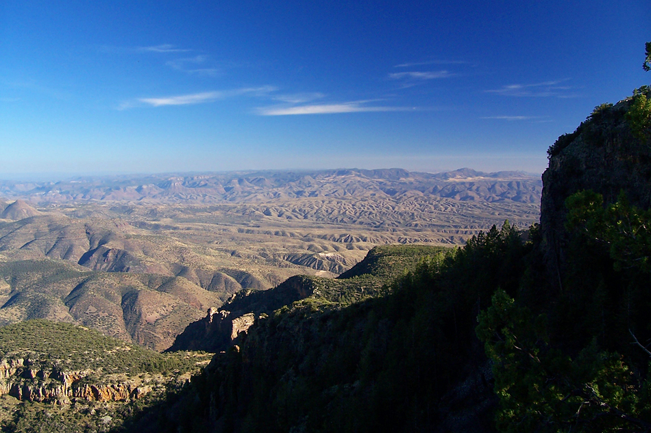
At the 3.75 mile point, the trail begins the final descent of Center Mountain, via a series of rocky switchbacks. The views return here: Cherry Creek, McFadden Horse Mountain, and the Mogollon Rim. Passing the junction with the Lucky Strike Trail on the way down, the Center Mountain Trail comes to an end at forest road 235 (Billy Lawrence Trailhead), in a saddle overlooking the Cherry Creek area. Check out the Official Route and Triplogs. Leave No Trace and +Add a Triplog after your hike to support this local community. One-Way Notice This hike is listed as One-Way. When hiking several trails on a single "hike", log it with a generic name that describes the hike. Then link the trails traveled, check out the example. | |||||||||||||||||||||||||||||||||||||||||||||||||||||||||||||||||||||||||||||||||||||||||||||||||||||||||||||||||||||||||||||||||||||||||||||||||||||||||||||||||||||||||||||||||||||||||||||||||||||||


