 Route Editor

| Guide | ♦ | 11 Triplogs | 0 Topics |
details | drive | no permit | forecast | map |
stats |
photos | triplogs | topics | location |
| 112 | 11 | 0 |
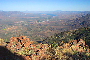
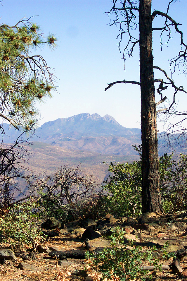
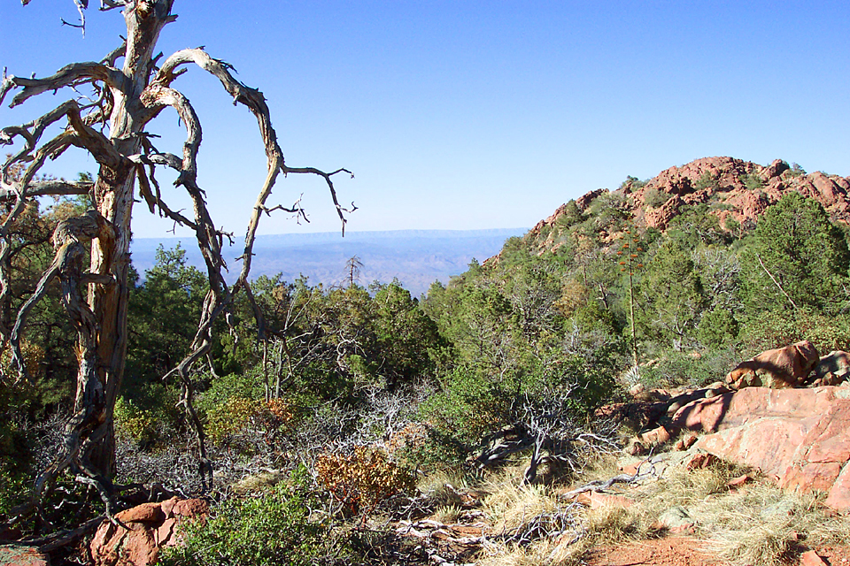
Mazatzal Mountain memories by PrestonSands   Mount Ord, at the center of the Mazatzal Mountains, is an island of pine surrounded by brushy hills, near Sunflower. It has dodged two major wildfires in the past several years (the Willow and the Edge Complex), probably as a result of the extensive prescribed burns that have been done on this mountain to protect the communication towers on top. I was wanting to do a hike on Mt. Ord and do some exploring on its pine-covered slopes, but there are no trails up there. Following the eastern ridge of the mountain out to an overlook of Tonto Basin looked like it might make a good hike. Mount Ord, at the center of the Mazatzal Mountains, is an island of pine surrounded by brushy hills, near Sunflower. It has dodged two major wildfires in the past several years (the Willow and the Edge Complex), probably as a result of the extensive prescribed burns that have been done on this mountain to protect the communication towers on top. I was wanting to do a hike on Mt. Ord and do some exploring on its pine-covered slopes, but there are no trails up there. Following the eastern ridge of the mountain out to an overlook of Tonto Basin looked like it might make a good hike.After driving up the mountain on a summer afternoon, I parked at the top of Oak Spring Canyon on the Mt. Ord road and started east. I hiked downhill a short distance to a flat saddle area between Oak Spring Canyon and Sycamore Canyon. On the south side of the saddle, there were several old mine pits. A well-defined cow path led north from the flat area, but my destination was the ridge. From the saddle, I continued east, following the ridge, through an area scorched from a prescribed burn gone wild. The burn had cleared out a lot of the oak brush along this ridge, making for easier cross-country travel. Unobstructed views to the south provided a view of Four Peaks, the Mt. Ord fire tower, and the flat country around the top of the Park Trail. The faint trail I had been following soon disappeared completely. I continued hiking along the relatively flat ridge, weaving around trees and brush, building occasional rock cairns, and enjoying the views of Tonto Basin and the Sierra Anchas.
Check out the Triplogs. Leave No Trace and +Add a Triplog after your hike to support this local community. | ||||||||||||||||||||||||||||||||||||||||||||||||||||||||||||||||||||||||||||||||||||||||||


