 Route Editor

| Dano |
|
|
| |||||||||||||||||||||||||||||||


Profile | Guides | Trips | Photos | Areas | Cmnts | 0 Water Reports |


 |  |  | 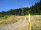 |  |
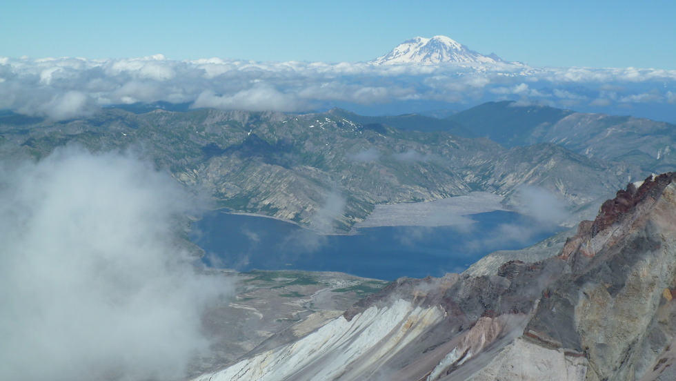
December 2004 All in all, this is a good workout hike. Though the trail gains quite a bit in elevation overall, it has plenty of switchbacks to reduce its steepness.
I agree that the name "wind cave" doesn't really describe what's up there--there are

