 Route Editor

| Guide | ♦ | 6 Triplogs | 0 Topics |
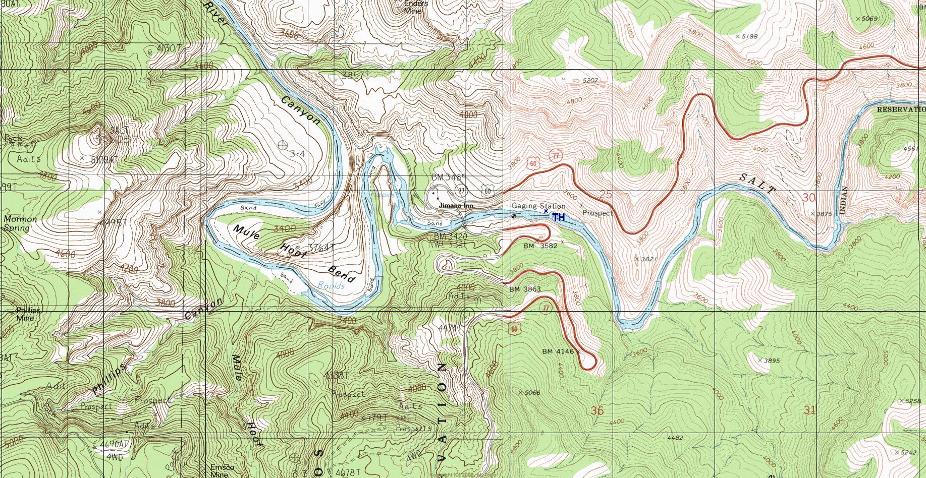
details | drive | permit | forecast | map |
stats |
photos | triplogs | topics | location |
| 28 | 6 | 0 |
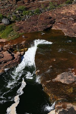
 Overview OverviewAn easy scenic destination within Salt River Canyon. Explore to your desire. The main draw, Apache Falls, is a very short hop and skip from where you park. Area map - you can see the falls on satellite
HAZ recommends combining with Cibecue Creek as the permit is pricey!
Check out the Triplogs. Leave No Trace and +Add a Triplog after your hike to support this local community. One-Way Notice This hike is listed as One-Way. When hiking several trails on a single "hike", log it with a generic name that describes the hike. Then link the trails traveled, check out the example. | |||||||||||||||||||||||||||||||||||||||||||||||||||||||


